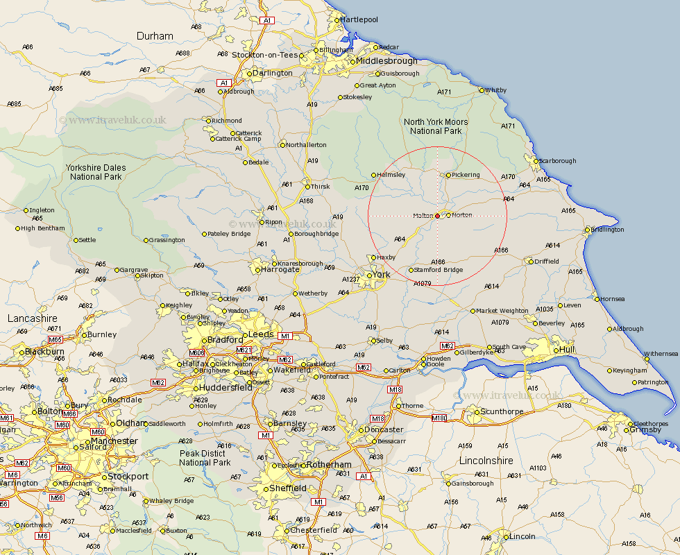
Yorkshire Map Showing Location of Malton
Population: 4289
Area Size (ha): 170
District: Ryedale
Easting: 477748 Northing: 471512
Latitude: 54.13 Longitude: -0.81
 = Malton
Area Size (ha): 170
District: Ryedale
Easting: 477748 Northing: 471512
Latitude: 54.13 Longitude: -0.81
= Malton
This Malton map below is supplied by Google. Use the tools in the top left corner to zoom into street level or zoom out for a road map, you may also need to zoom in to see Malton on the map. Click and drag the map to move around. If the map fails to load try and refresh your browser or zoom in or out (+ or -).
Update - it seems Google no longer allow people to use their maps for free! This Malton map sometimes loads and sometimes gives a error. I am working on a solution.
Closest 30 Towns or Cities to Malton (Population over 500)
Norton 2.85km Slingsby 7.19km Rillington 7.4km Terrington 10.37km Thornton Dale 12.67km Thornton-le-Dale 12.67km Pickering 13.28km Sheriff Hutton 13.58km Yedingham 14.61km Nawton 15.84km Kirkby Moorside 16.86km Kirby Moorside 16.86km Strensall 17.26km Snainton 17.43km Stamford Bridge 18.07km Fangfoss 18.59km Brompton 19.3km Sherburn 19.46km Stillington 20.33km Wilberfoss 20.94km Helmsley 21.15km Haxby 21.18km Wigginton 21.18km Ampleforth 21.3km Huntington 21.56km Earswick 21.56km Wetwang 21.72km Huby 21.8km Barmby 22.24km Barmby-on-the-Moor 22.24km