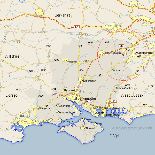
Hampshire Map Showing Location of Pilcot
District: Hart
Easting: 479088 Northing: 150759
Latitude: 51.25 Longitude: -0.87
 = Pilcot
Easting: 479088 Northing: 150759
Latitude: 51.25 Longitude: -0.87
= Pilcot
This Pilcot map below is supplied by Google. Use the tools in the top left corner to zoom into street level or zoom out for a road map, you may also need to zoom in to see Pilcot on the map. Click and drag the map to move around. If the map fails to load try and refresh your browser or zoom in or out (+ or -).
Update - it seems Google no longer allow people to use their maps for free! This Pilcot map sometimes loads and sometimes gives a error. I am working on a solution.
Closest 30 Towns or Cities to Pilcot (Population over 500)
Winchfield 2.19km Crondall 3.88km Fleet 4.37km Odiham 4.64km Hartley Wintney 5.68km Long Sutton 5.94km Hook 6.09km Aldershot 6.96km Bentley 7.42km Rotherwick 7.88km Blackwater 9.41km Farnborough 9.46km Froyle 9.9km Upton Grey 9.99km Binsted 11.18km Basing 11.74km Sherfield 11.82km Sherfield upon Loddon 11.82km Kingsley 14.82km Bordon 14.87km Bordon Camp 14.87km Basingstoke 15.19km Headley 15.23km Alton 15.31km Bramley 15.76km Silchester 17.8km Upper Farringdon 18.56km Faringdon 18.56km Farringdon 18.56km Bramshot 19.11km