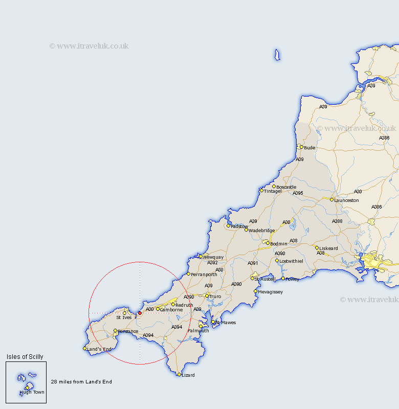
Cornwall Map Showing Location of Phillack
District: Penwith
Easting: 156203 Northing: 38988
Latitude: 50.2 Longitude: -5.42
 = Phillack
Easting: 156203 Northing: 38988
Latitude: 50.2 Longitude: -5.42
= Phillack
This Phillack map below is supplied by Google. Use the tools in the top left corner to zoom into street level or zoom out for a road map, you may also need to zoom in to see Phillack on the map. Click and drag the map to move around. If the map fails to load try and refresh your browser or zoom in or out (+ or -).
Update - it seems Google no longer allow people to use their maps for free! This Phillack map sometimes loads and sometimes gives a error. I am working on a solution.
Closest 30 Towns or Cities to Phillack (Population over 500)
Hayle 3.01km Heyl 3.01km Gwinear 4.02km St. Ives 5.93km Saint Ives 5.93km St Ives 5.93km Camborne 7.36km Troon 7.77km Marazion 8.23km Ludgvan 8.81km St Hilary 9.26km St. Hilary 9.26km Saint Hilary 9.26km Perranuthnoe 9.56km Germoe 9.56km Germol 9.56km Crowan 10km Portreath 11.13km Illogan 11.3km Penzance 12.05km Breage 12.61km Madron 13.01km Redruth 13.56km Wendron 14km Helstone 14.63km Helston 14.63km Porthleven 14.8km Stithians 16.72km Saint Day 17.01km St. Day 17.01km