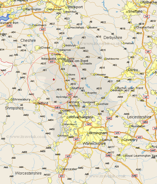
Staffordshire Map Showing Location of Pershall
District: Stafford
Easting: 380928 Northing: 329986
Latitude: 52.87 Longitude: -2.28
 = Pershall
Easting: 380928 Northing: 329986
Latitude: 52.87 Longitude: -2.28
= Pershall
This Pershall map below is supplied by Google. Use the tools in the top left corner to zoom into street level or zoom out for a road map, you may also need to zoom in to see Pershall on the map. Click and drag the map to move around. If the map fails to load try and refresh your browser or zoom in or out (+ or -).
Update - it seems Google no longer allow people to use their maps for free! This Pershall map sometimes loads and sometimes gives a error. I am working on a solution.
Closest 30 Towns or Cities to Pershall (Population over 500)
Eccleshall 2.91km High Offley 5.01km Standon 5.56km Adbaston 5.81km Swinnerton 7.14km Swynnerton 7.14km Seighford 8.72km Gnosall 9.54km Gnossall 9.54km Stone 10.72km Haughton 10.83km Whitmore 11.12km Barlaston 12.12km Hopton 12.86km Church Eaton 13.4km Stafford 14.38km Hilderstone 14.52km Keele 14.82km Newcastle-under-Lyme 15.2km Newcastle under Lyme 15.2km Madeley 15.2km Stoke-on-Trent 16.27km Stoke on Trent 16.27km Stoke-upon-Trent 16.27km Stoke 16.27km Stoke upon Trent 16.27km Blymhill 16.68km Silverdale 16.68km Fulford 17.23km Wheaton Aston 17.27km