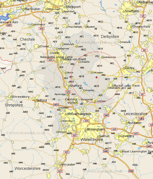
Staffordshire Map Showing Location of Marchington
Population: 1127
District: East Staffordshire
Easting: 413462 Northing: 329968
Latitude: 52.87 Longitude: -1.8
 = Marchington
District: East Staffordshire
Easting: 413462 Northing: 329968
Latitude: 52.87 Longitude: -1.8
= Marchington
This Marchington map below is supplied by Google. Use the tools in the top left corner to zoom into street level or zoom out for a road map, you may also need to zoom in to see Marchington on the map. Click and drag the map to move around. If the map fails to load try and refresh your browser or zoom in or out (+ or -).
Update - it seems Google no longer allow people to use their maps for free! This Marchington map sometimes loads and sometimes gives a error. I am working on a solution.
Closest 30 Towns or Cities to Marchington (Population over 500)
Uttoxeter 5km Hanbury 5.82km Hatton 7.77km Abbots Bromley 7.89km Tutbury 8.05km Rocester 9.53km Anslow 9.61km Rolleston 10.74km Tatenhill 11.45km Denstone 11.61km Denston 11.61km Alton 12.44km Church Leigh 12.49km Leigh 12.49km Checkley 12.49km Branston 12.89km Yoxall 13.03km Colton 13.61km Rugeley 14.28km Mayfield 14.99km Weston 15.02km Weston upon Trent 15.02km Colwich 15.42km Armitage 15.86km Oakamoor 16.76km Alrewas 17.27km Longdon 17.6km Cheadle 17.86km Waterhouses 19.06km Draycott 19.19km