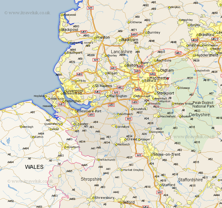
Cheshire Map Showing Location of Millbrook
District: Tameside
Easting: 397789 Northing: 400395
Latitude: 53.5 Longitude: -2.03
 = Millbrook
Easting: 397789 Northing: 400395
Latitude: 53.5 Longitude: -2.03
= Millbrook
This Millbrook map below is supplied by Google. Use the tools in the top left corner to zoom into street level or zoom out for a road map, you may also need to zoom in to see Millbrook on the map. Click and drag the map to move around. If the map fails to load try and refresh your browser or zoom in or out (+ or -).
Update - it seems Google no longer allow people to use their maps for free! This Millbrook map sometimes loads and sometimes gives a error. I am working on a solution.
Closest 30 Towns or Cities to Millbrook (Population over 500)
Stalybridge 2.88km Dukinfield 3.79km Longdendale 4.31km Hyde 6.47km Romiley 9.84km Bredbury 10.78km Marple 11.34km Stockport 13.54km Hazel Grove 14.1km Disley 14.99km Cheadle 16.46km Bramhall 17.26km Poynton 17.57km Sale 19.94km Adlington 21.43km Bollington 22.48km Wilmslow 22.79km Rainow 24.2km Altrincham 24.66km Prestburg 25.31km Prestbury 25.31km Alderley Edge 25.89km Bowdon 26.6km Partington 27.02km Nether Alderley 27.5km Alderley 27.5km Mobberley 27.72km Macclesfield 28.34km Glazebrook 29.63km Chelford 30.21km