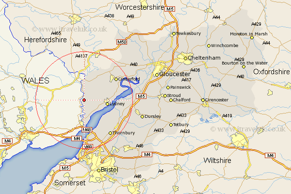
Gloucestershire Map Showing Location of Llandogo
District: Forest of Dean
Easting: 353965 Northing: 204104
Latitude: 51.73 Longitude: -2.67
 = Llandogo
Easting: 353965 Northing: 204104
Latitude: 51.73 Longitude: -2.67
= Llandogo
This Llandogo map below is supplied by Google. Use the tools in the top left corner to zoom into street level or zoom out for a road map, you may also need to zoom in to see Llandogo on the map. Click and drag the map to move around. If the map fails to load try and refresh your browser or zoom in or out (+ or -).
Update - it seems Google no longer allow people to use their maps for free! This Llandogo map sometimes loads and sometimes gives a error. I am working on a solution.
Closest 30 Towns or Cities to Llandogo (Population over 500)
Saint Briavels 1.15km St. Briavels 1.15km St Briavels 1.15km Newland 5.68km Woolaston 5.9km Bream 7.13km Coleford 8.72km Tidenham 9.33km Staunton 9.34km Lydney 9.37km Lydbrook 14.19km Aust 15.22km Cinderford 15.65km Berkeley 15.93km Awre 16.49km Stone 16.61km Drybrook 17.31km Alveston 17.44km Newham 17.69km Newnham 17.69km Olveston 18.05km Thornbury 18.08km Falfield 18.62km Mitcheldean 19.47km Milcheldean 19.47km Tytherington 19.48km Slimbridge 19.6km Cromhall 19.78km Pilning 20.51km North Nibley 20.88km