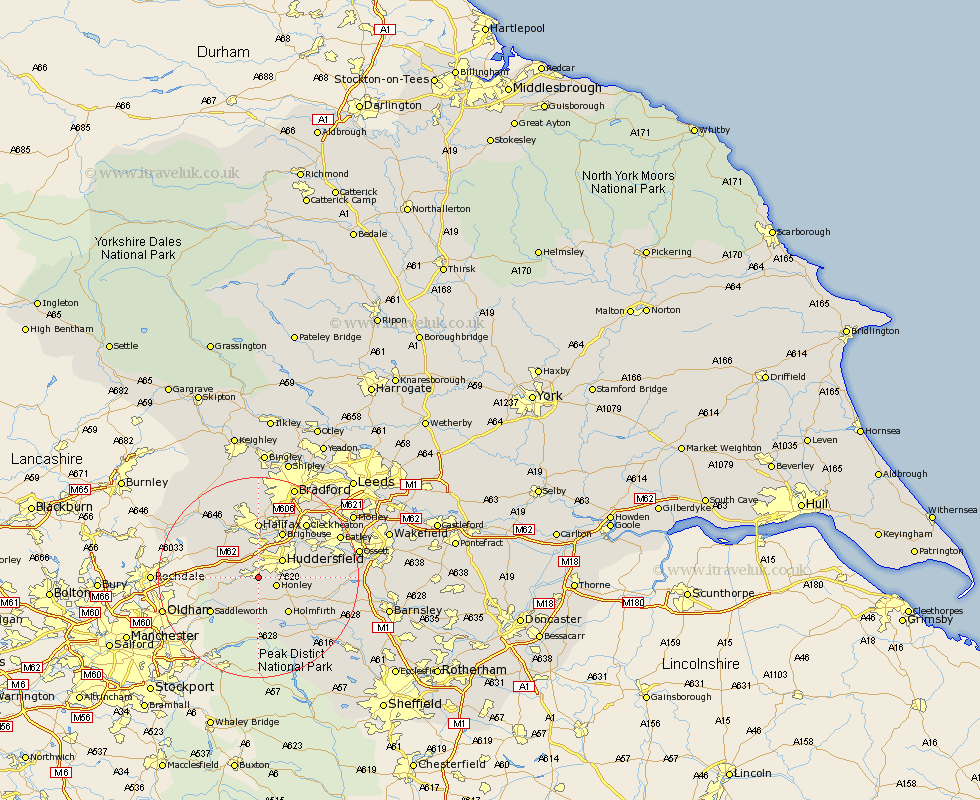
Yorkshire Map Showing Location of Linthwaite
District: Kirklees
Easting: 409921 Northing: 413387
Latitude: 53.62 Longitude: -1.85
 = Linthwaite
Easting: 409921 Northing: 413387
Latitude: 53.62 Longitude: -1.85
= Linthwaite
This Linthwaite map below is supplied by Google. Use the tools in the top left corner to zoom into street level or zoom out for a road map, you may also need to zoom in to see Linthwaite on the map. Click and drag the map to move around. If the map fails to load try and refresh your browser or zoom in or out (+ or -).
Update - it seems Google no longer allow people to use their maps for free! This Linthwaite map sometimes loads and sometimes gives a error. I am working on a solution.
Closest 30 Towns or Cities to Linthwaite (Population over 500)
Meltham 3.71km Honley 3.79km Huddersfield 5.75km Elland 7.49km Holme 7.5km Ripponden 8.62km Holmfirth 9.23km Shepley 9.55km Kirkburton 10.07km Brighouse 10.25km Halifax 11.12km Shelley 11.15km Saddleworth 11.51km Mirfield 12.31km Luddenden Foot 12.4km Dunford Bridge 12.93km Denby Dale 13.32km Liversedge 13.55km Mytholmroyd 14.17km Cleckheaton 14.17km Emley 14.29km Heckmondwike 15.22km Middletown 16.89km Middlestown 16.89km Queensbury 17.25km Batley 17.33km Dewsbury 17.95km Drewsbury 17.95km Hebden Bridge 18.44km Heptonstall 18.44km