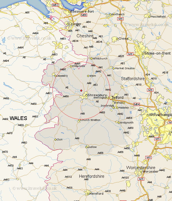
Shropshire Map Showing Location of Leaton
District: Shrewsbury and Atcham
Easting: 347132 Northing: 317256
Latitude: 52.75 Longitude: -2.78
 = Leaton
Easting: 347132 Northing: 317256
Latitude: 52.75 Longitude: -2.78
= Leaton
This Leaton map below is supplied by Google. Use the tools in the top left corner to zoom into street level or zoom out for a road map, you may also need to zoom in to see Leaton on the map. Click and drag the map to move around. If the map fails to load try and refresh your browser or zoom in or out (+ or -).
Update - it seems Google no longer allow people to use their maps for free! This Leaton map sometimes loads and sometimes gives a error. I am working on a solution.
Closest 30 Towns or Cities to Leaton (Population over 500)
Bicton 2.91km Hadnall 4.86km Shrewsbury 5km Ford 5.82km Baschurch 6.72km Great Hanwood 7.75km Hanwood 7.75km Great Ness 8.07km Baystonhill 9.53km Shawbury 9.7km Condover 11.34km Rodington 11.37km Stanton 11.64km Stanton upon Hine Heath 11.64km Alberbury 11.82km Wem 11.99km Cockshutt 11.99km Cockshut 11.99km High Ercall 12.34km Ercall Magna 12.34km Berrington 12.46km Loppington 12.98km Pontesbury 13km Westbury 13.45km Kinnerley 13.96km West Felton 15.36km Wrockwardine 15.61km Minsterley 16.45km Prees 16.77km Precs 16.77km