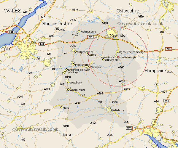
Wiltshire Map Showing Location of Marlborough
Population: 7110
Area Size (ha): 208
District: Kennet
Easting: 419700 Northing: 168724
Latitude: 51.42 Longitude: -1.72
 = Marlborough
Area Size (ha): 208
District: Kennet
Easting: 419700 Northing: 168724
Latitude: 51.42 Longitude: -1.72
= Marlborough
This Marlborough map below is supplied by Google. Use the tools in the top left corner to zoom into street level or zoom out for a road map, you may also need to zoom in to see Marlborough on the map. Click and drag the map to move around. If the map fails to load try and refresh your browser or zoom in or out (+ or -).
Update - it seems Google no longer allow people to use their maps for free! This Marlborough map sometimes loads and sometimes gives a error. I am working on a solution.
Closest 30 Towns or Cities to Marlborough (Population over 500)
Ramsbury 8.3km Aldbourne 8.89km Chiseldon 9.26km Pewsey 9.56km Bedwyn 9.82km Great Bedwyn 9.82km Burbage 9.9km Grafton 10.93km Broad Hinton 10.96km Baydon 10.96km Wroughton 12.04km Broad Town 12.76km Wanborough 13.02km Shalbourn 13.74km Shalbourne 13.74km Bishopstone 14.19km Collingbourne Ducis 15.54km Cherhill 16.18km Swindon 16.24km Upavon 16.38km Bishops Cannings 17.12km Wootton Bassett 18.15km Wooton Bassett 18.15km Hillmarton 18.2km Hilmarton 18.2km Stratton St Margaret 18.67km Stratton St. Margaret 18.67km Stratton 18.67km Stratton Saint Margaret 18.67km Roundway 19.32km