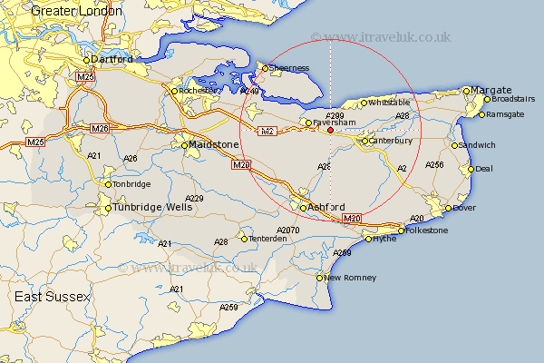
Kent Map Showing Location of Hernehill
District: Canterbury
Easting: 606784 Northing: 159888
Latitude: 51.3 Longitude: 0.97
 = Hernehill
Easting: 606784 Northing: 159888
Latitude: 51.3 Longitude: 0.97
= Hernehill
This Hernehill map below is supplied by Google. Use the tools in the top left corner to zoom into street level or zoom out for a road map, you may also need to zoom in to see Hernehill on the map. Click and drag the map to move around. If the map fails to load try and refresh your browser or zoom in or out (+ or -).
Update - it seems Google no longer allow people to use their maps for free! This Hernehill map sometimes loads and sometimes gives a error. I am working on a solution.
Closest 30 Towns or Cities to Hernehill (Population over 500)
Dunkirk 2.19km Faversham 4.99km Harbledown 4.99km Selling 5.08km Blean 5.79km Oare 6.08km Chartham 6.56km Ospringe 6.95km Chilham 7.42km Canterbury 7.86km Hackington 8.32km Chestfield 8.9km Whitstable 9.7km Lower Hardres 10.17km Sturry 10.59km Petham 10.93km Teynham 11.06km Leysdown-on-Sea 11.65km Leysdown 11.65km Leysdown on Sea 11.65km Warden 12.04km Linsted 12.75km Lynsted 12.75km Bridge 12.8km Eastchurch 13.11km Wye 13.18km Herne Bay 13.75km Broomfield 13.96km Bapchild 14.03km Hoath 14.38km