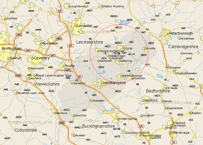
Northamptonshire Map Showing Location of Great Oakley
District: Kettering
Easting: 487205 Northing: 284375
Latitude: 52.45 Longitude: -0.72
 = Great Oakley
Easting: 487205 Northing: 284375
Latitude: 52.45 Longitude: -0.72
= Great Oakley
This Great Oakley map below is supplied by Google. Use the tools in the top left corner to zoom into street level or zoom out for a road map, you may also need to zoom in to see Great Oakley on the map. Click and drag the map to move around. If the map fails to load try and refresh your browser or zoom in or out (+ or -).
Update - it seems Google no longer allow people to use their maps for free! This Great Oakley map sometimes loads and sometimes gives a error. I am working on a solution.
Closest 30 Towns or Cities to Great Oakley (Population over 500)
Geddington 2.92km Cottingham 4.34km Stanion 4.88km Corby 5.02km Kettering 5.56km Weldon 6.75km Wilbarston 6.75km Rowell 6.75km Rothwell 6.75km Desborough 7.03km Caldecott 7.42km Brigstock 7.91km Gretton 9.86km Broughton 9.86km Isham 11.18km Burton Latimer 11.62km Thrapston 13.62km Woodford 13.76km Finedon 14.15km Islip 14.48km Walgrave 14.64km Ringstead 15.86km Clipston 16.25km Wellingborough 16.72km Titchmarsh 16.77km Irthlingborough 16.8km Oundle 17.34km Raunds 17.98km Stanwick 18.65km Higham Ferrers 18.98km