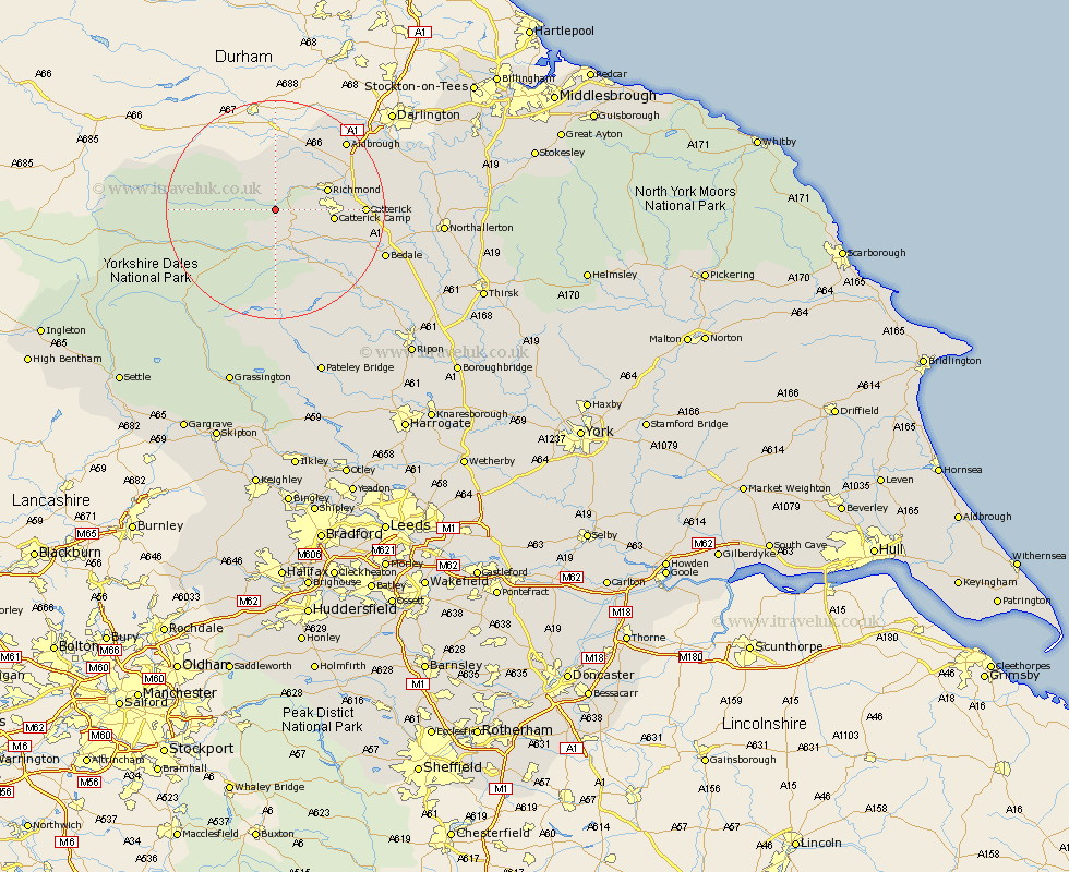
Yorkshire Map Showing Location of Marrick
Population: 131
District: Richmondshire
Easting: 408662 Northing: 496819
Latitude: 54.37 Longitude: -1.87
 = Marrick
District: Richmondshire
Easting: 408662 Northing: 496819
Latitude: 54.37 Longitude: -1.87
= Marrick
This Marrick map below is supplied by Google. Use the tools in the top left corner to zoom into street level or zoom out for a road map, you may also need to zoom in to see Marrick on the map. Click and drag the map to move around. If the map fails to load try and refresh your browser or zoom in or out (+ or -).
Update - it seems Google no longer allow people to use their maps for free! This Marrick map sometimes loads and sometimes gives a error. I am working on a solution.
Closest 30 Towns or Cities to Marrick (Population over 500)
Leyburn 8.09km Richmond 9.4km Middleham 9.82km Gilling 12.21km Catterick 15.12km Middleton Tyas 16.81km Scorton 17.37km Melsonby 17.57km Crakehall 17.82km Bradley 17.89km Barton 17.89km Bedale 20.58km North Cowton 20.84km Masham 21.81km East Cowton 22.29km Cowton 22.29km Hawes 22.85km Grewelthorpe 24.77km Kirkby Malzeard 26.31km Tanfield 26.88km West Tanfield 26.88km Northallerton 28.33km Brompton 29.22km Bewerley 32.17km Grassington 34.21km Ripon 35.91km Dacre 36.54km Threshfield 36.54km Osmotherley 36.71km Topcliffe 37.42km