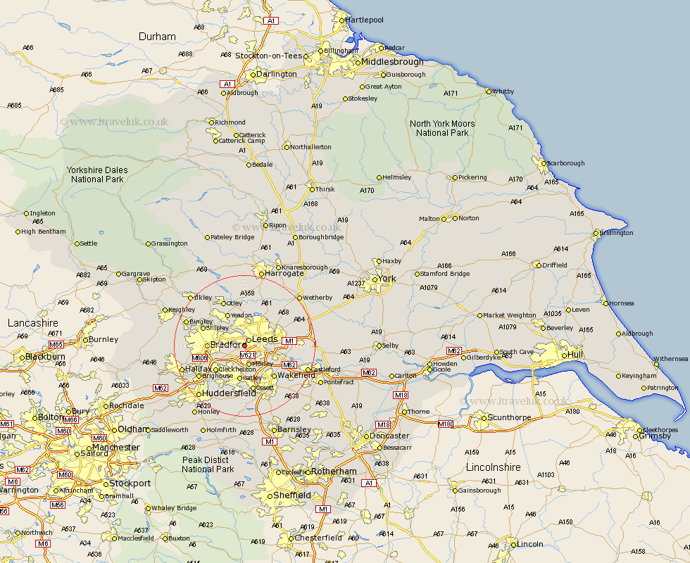
Yorkshire Map Showing Location of Farnley
District: Leeds
Easting: 426353 Northing: 431984
Latitude: 53.78 Longitude: -1.6
 = Farnley
Easting: 426353 Northing: 431984
Latitude: 53.78 Longitude: -1.6
= Farnley
This Farnley map below is supplied by Google. Use the tools in the top left corner to zoom into street level or zoom out for a road map, you may also need to zoom in to see Farnley on the map. Click and drag the map to move around. If the map fails to load try and refresh your browser or zoom in or out (+ or -).
Update - it seems Google no longer allow people to use their maps for free! This Farnley map sometimes loads and sometimes gives a error. I am working on a solution.
Closest 30 Towns or Cities to Farnley (Population over 500)
Leeds 2.16km Pudsey 4.38km Morley 5.67km Horsforth 5.97km Rothwell 8.52km Lofthouse 8.61km Drewsbury 9.33km Dewsbury 9.33km Bradford 9.86km Batley 10.07km Heckmondwike 10.25km Yeadon 10.25km Cleckheaton 10.66km Bramhope 11.17km Liversedge 11.36km Guiseley 12.03km Stanley 12.03km Wakefield 12.03km Swillington 12.19km Shipley 12.27km Scholes 12.6km Arthington Junction Station 12.98km Arthington 12.98km Pool 13.02km Pool-in-Wharfedale 13.02km Poole 13.02km Ossett 13.15km Baildon 13.22km Horbury 13.38km Scarcroft 13.52km