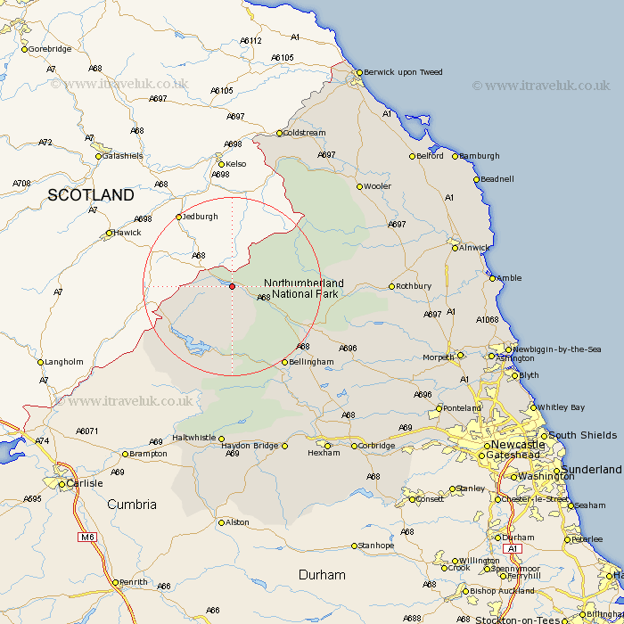
Northumberland Map Showing Location of Catcleugh
District: Tynedale
Easting: 374617 Northing: 602590
Latitude: 55.32 Longitude: -2.4
 = Catcleugh
Easting: 374617 Northing: 602590
Latitude: 55.32 Longitude: -2.4
= Catcleugh
This Catcleugh map below is supplied by Google. Use the tools in the top left corner to zoom into street level or zoom out for a road map, you may also need to zoom in to see Catcleugh on the map. Click and drag the map to move around. If the map fails to load try and refresh your browser or zoom in or out (+ or -).
Update - it seems Google no longer allow people to use their maps for free! This Catcleugh map sometimes loads and sometimes gives a error. I am working on a solution.
Closest 30 Towns or Cities to Catcleugh (Population over 500)
Otterburn 18.5km Bellingham 21.34km Wark 30.14km Rothbury 31.64km Wooler 34.89km Humshaugh 35.77km Chollerton 36.82km Challerton 36.82km Haltwhistle 37.13km Newbrough 37.81km Longframlington 39.21km Haydon Bridge 40.33km Warden 40.76km Longhorsley 41.17km Acomb 41.69km Swarland 42.23km Sandhoe 43.23km Hexham 43.34km Felton 44.47km Lowick 44.55km Alnwick 45.2km Almwick 45.2km Thirston 45.52km East Thirston 45.52km Shilbottle 45.66km Corbridge 45.91km Stamfordham 46.26km Norham 47.18km Belford 47.63km Hebron 47.78km