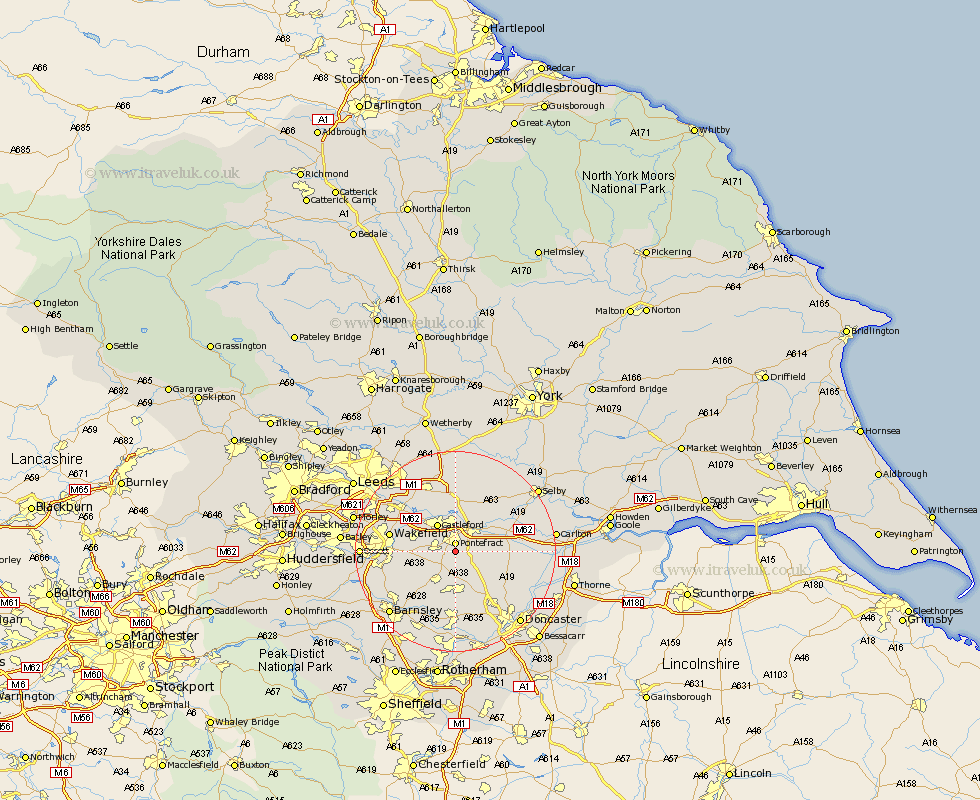
Yorkshire Map Showing Location of Carleton
District: Wakefield
Easting: 446245 Northing: 419166
Latitude: 53.67 Longitude: -1.3
 = Carleton
Easting: 446245 Northing: 419166
Latitude: 53.67 Longitude: -1.3
= Carleton
This Carleton map below is supplied by Google. Use the tools in the top left corner to zoom into street level or zoom out for a road map, you may also need to zoom in to see Carleton on the map. Click and drag the map to move around. If the map fails to load try and refresh your browser or zoom in or out (+ or -).
Update - it seems Google no longer allow people to use their maps for free! This Carleton map sometimes loads and sometimes gives a error. I am working on a solution.
Closest 30 Towns or Cities to Carleton (Population over 500)
Pontefract 1.85km High Ackworth 2.88km Ackworth Moor Top 2.88km Ackworth 2.88km Darrington 3.29km Badsworth 5.56km Upton 5.67km Featherstone 5.74km Knottingly 5.74km Knottingley 5.74km Brotherton 5.98km Castleford 6.46km North Elmsall 6.46km Fitzwilliam 6.63km Crofton 7.91km Hemsworth 8.12km Normanton 8.53km Norton 8.54km South Kirkby 9.19km Moorthorpe 9.27km South Elmsall 9.34km Campsall 9.49km Whitley 10.05km Monk Fryston 10.25km Ryhill 10.4km Sutton 11.5km South Milford 11.6km Kippax 11.95km Shafton 12.05km Askern 12.32km