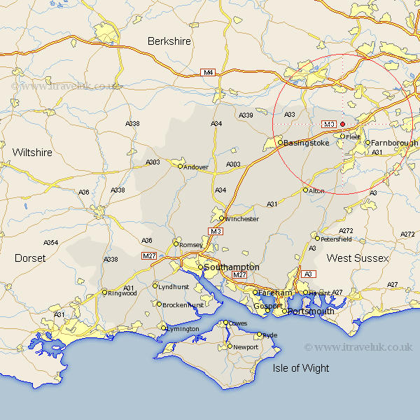
Hampshire Map Showing Location of Blackbushes
District: Hart
Easting: 481296 Northing: 158212
Latitude: 51.32 Longitude: -0.83
 = Blackbushes
Easting: 481296 Northing: 158212
Latitude: 51.32 Longitude: -0.83
= Blackbushes
This Blackbushes map below is supplied by Google. Use the tools in the top left corner to zoom into street level or zoom out for a road map, you may also need to zoom in to see Blackbushes on the map. Click and drag the map to move around. If the map fails to load try and refresh your browser or zoom in or out (+ or -).
Update - it seems Google no longer allow people to use their maps for free! This Blackbushes map sometimes loads and sometimes gives a error. I am working on a solution.
Closest 30 Towns or Cities to Blackbushes (Population over 500)
Blackwater 3.48km Fleet 3.71km Hartley Wintney 3.94km Winchfield 6.56km Aldershot 8.75km Farnborough 8.9km Hook 9.84km Rotherwick 9.99km Odiham 10.17km Crondall 11.18km Sherfield upon Loddon 12.88km Sherfield 12.88km Long Sutton 13.12km Basing 14.98km Bentley 15.01km Upton Grey 16.07km Bramley 16.22km Silchester 16.63km Froyle 17.66km Basingstoke 18.25km Binsted 18.86km Tadley 21.17km Headley 22.27km Bordon 22.27km Bordon Camp 22.27km Kingsley 22.36km Alton 22.91km Baughurst 23.24km Oakley 25.45km Dummer 25.57km