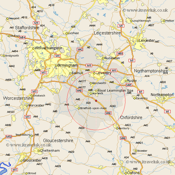
Warwickshire Map Showing Location of Bishops Tachbrook
Population: 1957
Area Size (ha): 37
District: Stratford-on-Avon
Easting: 431867 Northing: 259602
Latitude: 52.23 Longitude: -1.53
 = Bishops Tachbrook
Area Size (ha): 37
District: Stratford-on-Avon
Easting: 431867 Northing: 259602
Latitude: 52.23 Longitude: -1.53
= Bishops Tachbrook
This Bishops Tachbrook map below is supplied by Google. Use the tools in the top left corner to zoom into street level or zoom out for a road map, you may also need to zoom in to see Bishops Tachbrook on the map. Click and drag the map to move around. If the map fails to load try and refresh your browser or zoom in or out (+ or -).
Update - it seems Google no longer allow people to use their maps for free! This Bishops Tachbrook map sometimes loads and sometimes gives a error. I am working on a solution.
Closest 30 Towns or Cities to Bishops Tachbrook (Population over 500)
Whitnash 2.18km Barford 4.54km Harbury 5.67km Lighthorne 6.01km Warwick 6.52km Wellesbourne 6.52km Wellesbourne Hastings 6.52km Royal Leamington Spa 7.42km Leamington 7.42km Leamington Spa 7.42km Bishops Itchington 7.75km Kineton 9.54km Southam 10.38km Hatton 10.87km Long Itchington 10.87km Shrewley 11.72km Claverdon 11.94km Bubbenhall 12.01km Ettington 12.01km Eatington 12.01km Stratford upon Avon 12.65km Stratford 12.65km Stratford-on-Avon 12.65km Stratford-upon-Avon 12.65km Stratford on Avon 12.65km Stockton 13.02km Stoneleigh 13.03km Kenilworth 13.42km Snitterfield 13.62km Bearley 13.62km