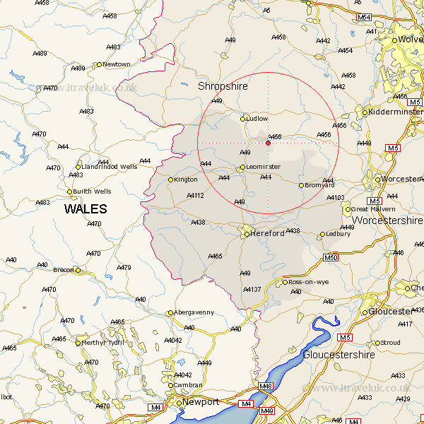
Herefordshire Map Showing Location of Berrington
Easting: 356817 Northing: 267107
Latitude: 52.3 Longitude: -2.63
 = Berrington
Latitude: 52.3 Longitude: -2.63
= Berrington
This Berrington map below is supplied by Google. Use the tools in the top left corner to zoom into street level or zoom out for a road map, you may also need to zoom in to see Berrington on the map. Click and drag the map to move around. If the map fails to load try and refresh your browser or zoom in or out (+ or -).
Update - it seems Google no longer allow people to use their maps for free! This Berrington map sometimes loads and sometimes gives a error. I am working on a solution.
Closest 30 Towns or Cities to Berrington (Population over 500)
Brimfield 4.53km Orleton 7.93km Luston 8.76km Leominster 10.07km Croft 11.49km Kingsland 12.63km Wigmore 14.85km Bromyard 15.84km Shobdon 16.82km Bodenham 17.02km Eardisland 17.41km Leintwardine 17.5km Whitbourne 18.38km Wellington 20.17km Pembridge 20.38km Dilwyn 20.51km Weobley 21.73km Withington 22.24km Sutton 22.5km Moreton-on-Lugg 23.26km Moreton on Lugg 23.26km Moreton 23.26km Burghill 24.02km Credenhill 24.97km Lugwardine 25.97km Lyonshall 26.29km Bosbury 27.14km Mordiford 27.8km Kington 28.37km Hereford 28.37km