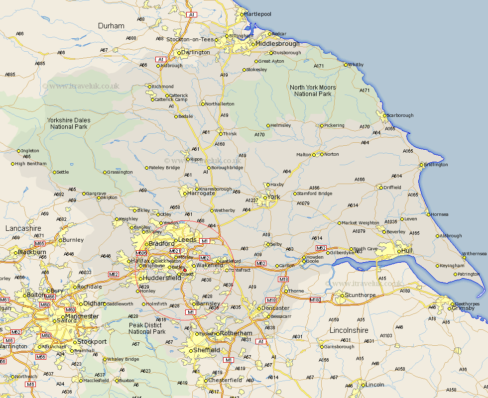
Yorkshire Map Showing Location of Alverthorpe
District: Leeds
Easting: 430818 Northing: 420886
Latitude: 53.68 Longitude: -1.53
 = Alverthorpe
Easting: 430818 Northing: 420886
Latitude: 53.68 Longitude: -1.53
= Alverthorpe
This Alverthorpe map below is supplied by Google. Use the tools in the top left corner to zoom into street level or zoom out for a road map, you may also need to zoom in to see Alverthorpe on the map. Click and drag the map to move around. If the map fails to load try and refresh your browser or zoom in or out (+ or -).
Update - it seems Google no longer allow people to use their maps for free! This Alverthorpe map sometimes loads and sometimes gives a error. I am working on a solution.
Closest 30 Towns or Cities to Alverthorpe (Population over 500)
Horbury 2.15km Ossett 2.87km Stanley 3.78km Wakefield 3.78km Crigglestone 5.56km Middletown 5.74km Middlestown 5.74km Dewsbury 5.79km Drewsbury 5.79km Batley 5.91km Lofthouse 5.98km Morley 6.46km Bretton 7.72km West Bretton 7.72km Normanton 7.9km Rothwell 8.11km Crofton 8.53km Heckmondwike 8.97km Woolley 9.33km Notton 9.83km Emley 9.91km Ryhill 9.91km Mirfield 10.05km Royston 10.77km Darton 11.12km Liversedge 11.13km Featherstone 11.13km Fitzwilliam 11.34km Swillington 12.04km Castleford 12.63km