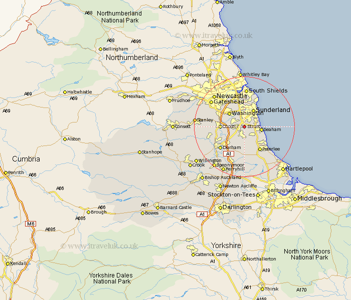
Durham Map Showing Location of Warden Law
Population: 33
District: Sunderland
Easting: 436380 Northing: 550734
Latitude: 54.85 Longitude: -1.43
 = Warden Law
District: Sunderland
Easting: 436380 Northing: 550734
Latitude: 54.85 Longitude: -1.43
= Warden Law
This Warden Law map below is supplied by Google. Use the tools in the top left corner to zoom into street level or zoom out for a road map, you may also need to zoom in to see Warden Law on the map. Click and drag the map to move around. If the map fails to load try and refresh your browser or zoom in or out (+ or -).
Update - it seems Google no longer allow people to use their maps for free! This Warden Law map sometimes loads and sometimes gives a error. I am working on a solution.
Closest 30 Towns or Cities to Warden Law (Population over 500)
Houghton le Spring 2.13km Seaton 3.7km Murton 3.85km Hetton le Hole 3.85km Dalton le Dale 5.65km Dalton 5.65km West Rainton 5.65km South Hetton 5.96km Seaham Harbour 6.28km Seaham 6.28km Pittington 6.42km Haswell 7.49km Sunderland 7.59km Washington 7.7km Washington New Town 7.7km Chester-le-Street 8.54km Shotton 8.56km Easington 8.62km Birtley 9.3km Sherburn 9.8km Pelton 10.83km Thornley 11.12km Peterlee 11.21km Shincliffe 11.26km West Boldon 11.32km Boldon 11.32km Ouston 12.12km Ouston Moor 12.12km Whitburn 12.21km Sacriston 12.31km