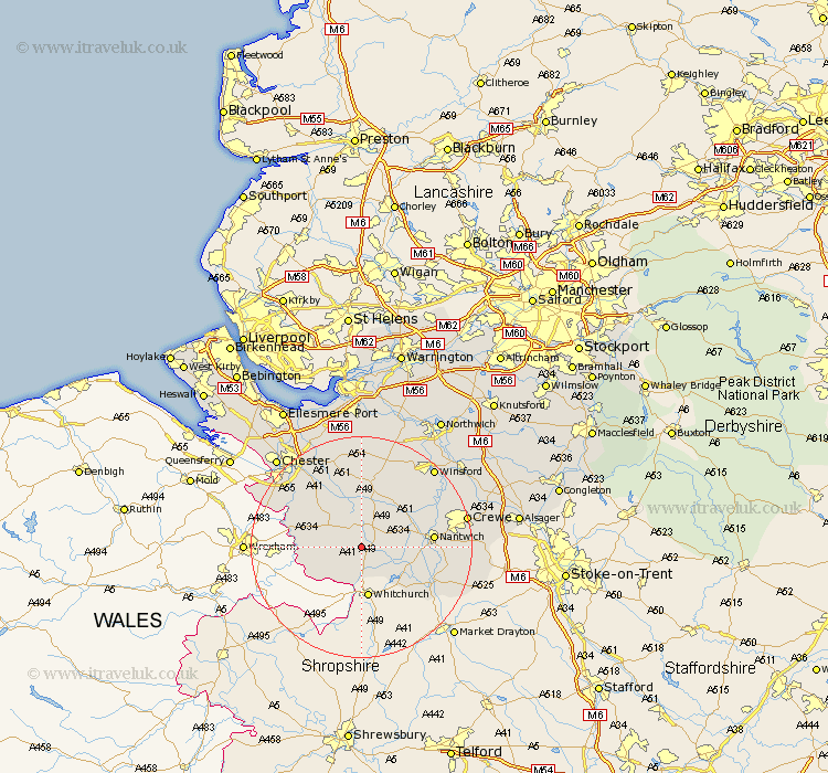
Cheshire Map Showing Location of Cholmondeley
Population: 136
District: Crewe and Nantwich
Easting: 353081 Northing: 350567
Latitude: 53.05 Longitude: -2.7
 = Cholmondeley
District: Crewe and Nantwich
Easting: 353081 Northing: 350567
Latitude: 53.05 Longitude: -2.7
= Cholmondeley
This Cholmondeley map below is supplied by Google. Use the tools in the top left corner to zoom into street level or zoom out for a road map, you may also need to zoom in to see Cholmondeley on the map. Click and drag the map to move around. If the map fails to load try and refresh your browser or zoom in or out (+ or -).
Update - it seems Google no longer allow people to use their maps for free! This Cholmondeley map sometimes loads and sometimes gives a error. I am working on a solution.
Closest 30 Towns or Cities to Cholmondeley (Population over 500)
Harthill 4.99km Malpas 5.8km Wrenbury cum Frith 7.64km Wrenbury 7.64km Tilston 7.8km Bunbury 8.13km Tattenhall 8.65km Tarporley 11.34km Nantwich 12.39km Farndon 12.8km Audlem 14.33km Waverton 14.59km Willaston 14.6km Wistaston 16.02km Little Budworth 16.26km Wybunbury 16.82km Tarvin 17.26km Christleton 17.29km Great Barrow 17.96km Barrow 17.96km Kelshall Hill 18.57km Kelsall 18.57km Kelsall Hill 18.57km Crewe 18.66km Ashton 18.67km Delamere 18.67km Dodleston 19.09km Winsford 19.22km Mickle Trafford 20.1km Whitegate 21.06km