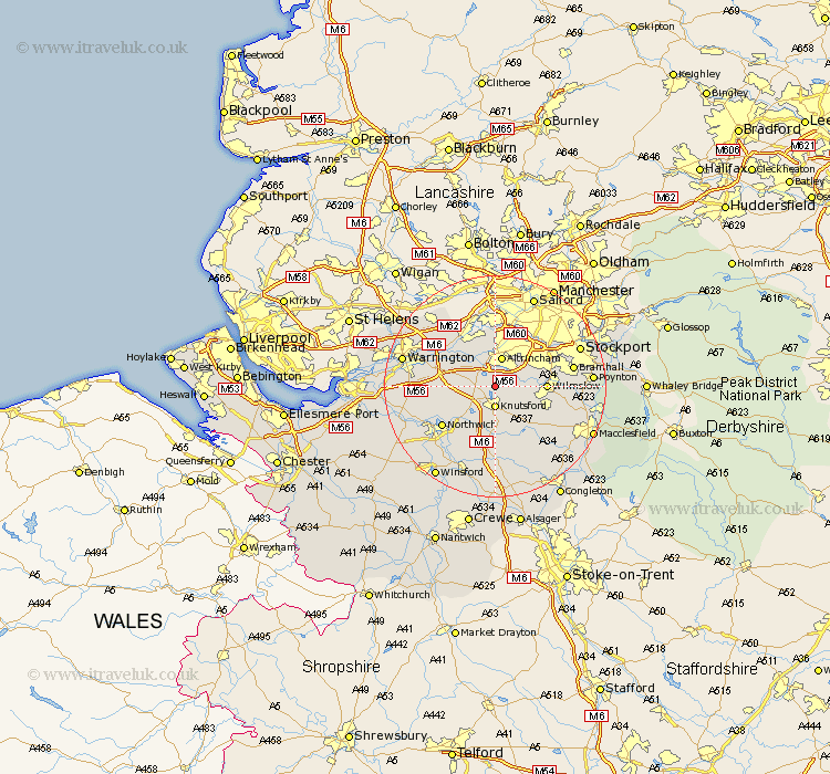
Cheshire Map Showing Location of Tatton
Population: 35
District: Macclesfield
Easting: 375584 Northing: 381913
Latitude: 53.33 Longitude: -2.37
 = Tatton
District: Macclesfield
Easting: 375584 Northing: 381913
Latitude: 53.33 Longitude: -2.37
= Tatton
This Tatton map below is supplied by Google. Use the tools in the top left corner to zoom into street level or zoom out for a road map, you may also need to zoom in to see Tatton on the map. Click and drag the map to move around. If the map fails to load try and refresh your browser or zoom in or out (+ or -).
Update - it seems Google no longer allow people to use their maps for free! This Tatton map sometimes loads and sometimes gives a error. I am working on a solution.
Closest 30 Towns or Cities to Tatton (Population over 500)
Mere 3.32km Knutsford 3.7km Bowdon 3.71km Mobberley 3.8km Altrincham 5.67km Lymm 5.78km High Legh 5.83km Plumbley 8.12km Plumley Station 8.12km Wilmslow 8.85km Peover 9.33km Peover Superior 9.33km Alderley Edge 9.6km Partington 9.85km Lostock Gralam 9.95km Chelford 9.95km Sale 10.28km Nether Alderley 10.46km Alderley 10.46km Stockton Heath 11.33km Goostrey 11.34km Thelwall 11.4km Northwick 11.55km Northwich 11.55km Marston 11.55km Appleton 12.31km Cheadle 12.41km Glazebrook 12.95km Stretton 13.28km Anderton 13.32km