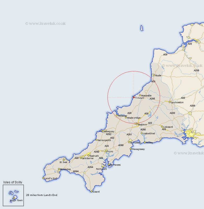
Cornwall Map Showing Location of Tintagel
Population: 1822
District: North Cornwall
Easting: 205687 Northing: 88898
Latitude: 50.67 Longitude: -4.75
 = Tintagel
District: North Cornwall
Easting: 205687 Northing: 88898
Latitude: 50.67 Longitude: -4.75
= Tintagel
This Tintagel map below is supplied by Google. Use the tools in the top left corner to zoom into street level or zoom out for a road map, you may also need to zoom in to see Tintagel on the map. Click and drag the map to move around. If the map fails to load try and refresh your browser or zoom in or out (+ or -).
Update - it seems Google no longer allow people to use their maps for free! This Tintagel map sometimes loads and sometimes gives a error. I am working on a solution.
Closest 30 Towns or Cities to Tintagel (Population over 500)
Forrabury 2.99km Camelford 7.28km Altarnun 16.99km Blisland 17.33km Wadebridge 17.69km Poundstock 17.94km Pounstock 17.94km Padstow 19.68km Cardinham 21.58km Cardingham 21.58km St Issey 21.96km St. Issey 21.96km Saint Issey 21.96km Markhamchurch 22.12km Marhamchurch 22.12km Bodmin 22.36km North Petherwin 22.39km St. Merryn 22.63km Saint Merryn 22.63km St Merryn 22.63km Lewannick 23.53km Bude 23.99km Lanivet 24.12km North Hill 25.84km South Petherwin 26.45km Launceston 27.28km St Columb 29.01km St. Columb Major 29.01km St. Columb 29.01km Saint Columb 29.01km