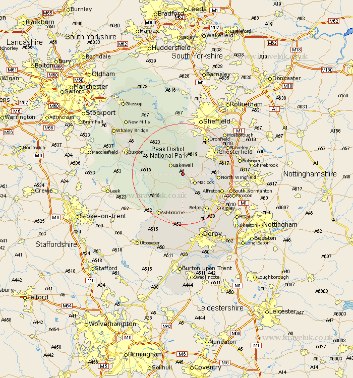
Derbyshire Map Showing Location of Darley Dale
Population: 5167
District: Derbyshire Dales
Easting: 426738 Northing: 363393
Latitude: 53.17 Longitude: -1.6
 = Darley Dale
District: Derbyshire Dales
Easting: 426738 Northing: 363393
Latitude: 53.17 Longitude: -1.6
= Darley Dale
This Darley Dale map below is supplied by Google. Use the tools in the top left corner to zoom into street level or zoom out for a road map, you may also need to zoom in to see Darley Dale on the map. Click and drag the map to move around. If the map fails to load try and refresh your browser or zoom in or out (+ or -).
Update - it seems Google no longer allow people to use their maps for free! This Darley Dale map sometimes loads and sometimes gives a error. I am working on a solution.
Closest 30 Towns or Cities to Darley Dale (Population over 500)
Winster 4.99km Bonsall 5.67km Bakewell 5.78km Matlock 5.79km Youlgreave 6.67km Tansley 6.68km Matlock Bath 7.17km Baslow 7.49km Cromford 7.74km Ashover 7.78km Middleton 7.78km Wirksworth 9.54km Brassington 9.86km Brampton 9.96km Old Brampton 9.96km Great Longstone 9.96km Longstone 9.96km Walton 10.48km Stony Middleton 11.61km Stoney Middleton 11.61km Wingerworth 11.71km Crich 12.11km Clay Cross 12.36km Stretton 12.78km Grindleford 13.15km Grindleford Bridge 13.15km North Wingfield 13.3km Barlow 13.56km Eyam 13.7km Holmesfield 14.1km