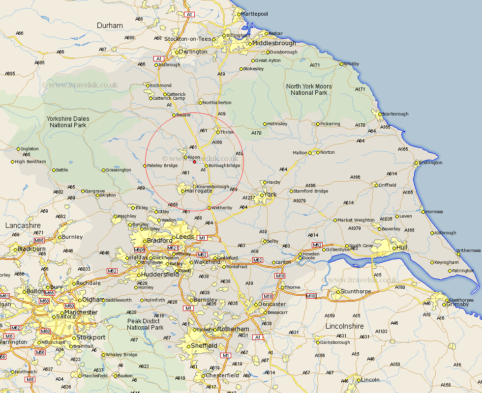
Yorkshire Map Showing Location of Newby
Population: 227
District: Harrogate
Easting: 434872 Northing: 467274
Latitude: 54.1 Longitude: -1.47
 = Newby
District: Harrogate
Easting: 434872 Northing: 467274
Latitude: 54.1 Longitude: -1.47
= Newby
This Newby map below is supplied by Google. Use the tools in the top left corner to zoom into street level or zoom out for a road map, you may also need to zoom in to see Newby on the map. Click and drag the map to move around. If the map fails to load try and refresh your browser or zoom in or out (+ or -).
Update - it seems Google no longer allow people to use their maps for free! This Newby map sometimes loads and sometimes gives a error. I am working on a solution.
Closest 30 Towns or Cities to Newby (Population over 500)
Monkton 2.86km Bishop Monkton 2.86km Ripon 3.75km Burton Leonard 4.29km Boroughbridge 4.73km Dishforth 6.44km Marton 7.5km Marton le Moor 7.5km Topcliffe 10.74km Killinghall 10.74km Knaresborough 11.12km Ouseburn 11.25km Great Ouseburn 11.25km Birstwith 12.28km Hampsthwaite 12.71km Tanfield 12.89km West Tanfield 12.89km Whixley 13.48km Harrogate 13.69km Kirkby Malzeard 14.06km Raskelf 14.6km Grewelthorpe 15.11km Alne 15.33km Green Hammerton 15.56km Thirsk 15.61km Linton upon Ouse 15.97km Linton-on-Ouse 15.97km Linton on Ouse 15.97km Linton 15.97km Tollerton 16.72km