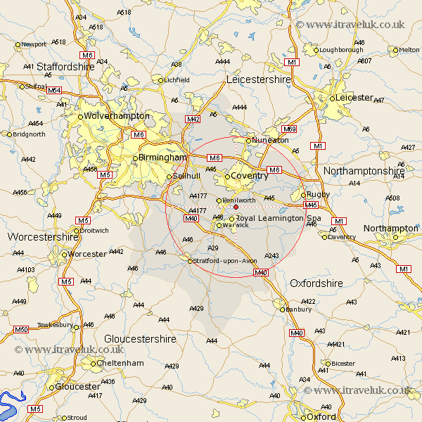
Warwickshire Map Showing Location of Blackdown
Population: 128
District: Warwick
Easting: 432930 Northing: 270732
Latitude: 52.33 Longitude: -1.52
 = Blackdown
District: Warwick
Easting: 432930 Northing: 270732
Latitude: 52.33 Longitude: -1.52
= Blackdown
This Blackdown map below is supplied by Google. Use the tools in the top left corner to zoom into street level or zoom out for a road map, you may also need to zoom in to see Blackdown on the map. Click and drag the map to move around. If the map fails to load try and refresh your browser or zoom in or out (+ or -).
Update - it seems Google no longer allow people to use their maps for free! This Blackdown map sometimes loads and sometimes gives a error. I am working on a solution.
Closest 30 Towns or Cities to Blackdown (Population over 500)
Stoneleigh 1.86km Bubbenhall 3.4km Leamington 3.87km Royal Leamington Spa 3.87km Leamington Spa 3.87km Baginton 4.35km Kenilworth 4.89km Warwick 7.17km Brandon 8.75km Whitnash 9.26km Coventry 9.55km Allesley 9.55km Wolston 9.79km Hatton 9.79km Shrewley 10.85km Berkswell 10.85km Berkeswell 10.85km Keresley 11.18km Bishops Tachbrook 11.18km Long Itchington 11.71km Temple Balsall 11.91km Harbury 12.01km Barford 12.48km Rowington 12.6km Southam 12.96km Meriden 13.03km Corley 13.17km Brinklow 13.53km Stockton 13.54km Claverdon 14.5km