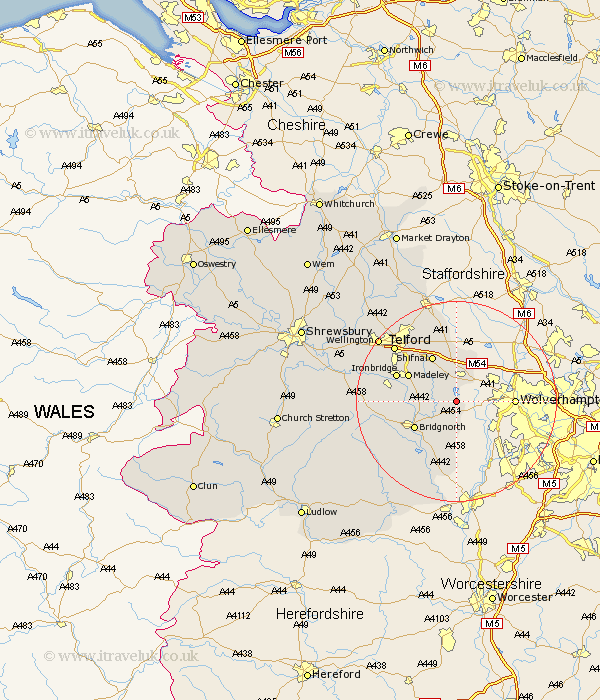
Shropshire Map Showing Location of Stanlow
District: Bridgnorth
Easting: 379675 Northing: 298469
Latitude: 52.58 Longitude: -2.3
 = Stanlow
Easting: 379675 Northing: 298469
Latitude: 52.58 Longitude: -2.3
= Stanlow
This Stanlow map below is supplied by Google. Use the tools in the top left corner to zoom into street level or zoom out for a road map, you may also need to zoom in to see Stanlow on the map. Click and drag the map to move around. If the map fails to load try and refresh your browser or zoom in or out (+ or -).
Update - it seems Google no longer allow people to use their maps for free! This Stanlow map sometimes loads and sometimes gives a error. I am working on a solution.
Closest 30 Towns or Cities to Stanlow (Population over 500)
Claverley 5.56km Worfield 5.83km Albrighton 6km Bridgnorth 9.65km Shifnal 10.31km Madeley 10.58km Barrow Bridge 11.41km Barrow 11.41km Ironbridge 12.55km Broseley 12.93km Dawley 14.58km Alveley 15.2km Oakengates 15.79km Highley 15.86km Telford 16.38km Woodcote 16.83km Much Wenlock 16.99km Downington 17.35km Donnington 17.35km Ketley 17.93km Hadley 17.93km Lilleshall 17.99km Trench 18.61km Wellington 19.55km Kinlet 20.14km Ditton Priors 20.27km Edgmond 21.86km Cressage 22.09km Wrockwardine 22.18km Newport 22.94km