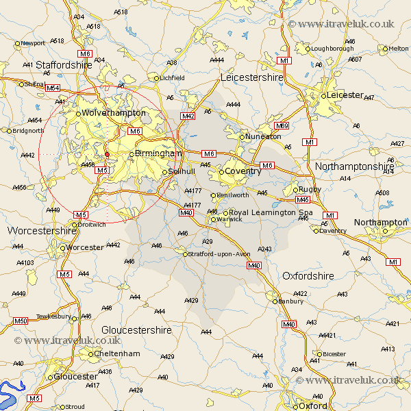
Warwickshire Map Showing Location of Quinton
District: Birmingham
Easting: 398867 Northing: 285459
Latitude: 52.47 Longitude: -2.02
 = Quinton
Easting: 398867 Northing: 285459
Latitude: 52.47 Longitude: -2.02
= Quinton
This Quinton map below is supplied by Google. Use the tools in the top left corner to zoom into street level or zoom out for a road map, you may also need to zoom in to see Quinton on the map. Click and drag the map to move around. If the map fails to load try and refresh your browser or zoom in or out (+ or -).
Update - it seems Google no longer allow people to use their maps for free! This Quinton map sometimes loads and sometimes gives a error. I am working on a solution.
Closest 30 Towns or Cities to Quinton (Population over 500)
Birmingham 6.77km Castle Bromwich 16.23km Solihull 16.77km Sutton Coldfield 17.52km Water Orton 19.54km Bickenhill 20.41km Knowle 21.33km Coleshill 21.76km Hampton in Arden 22.17km Ullenhall 22.98km Middleton 23.14km Lapworth 23.39km Studley 24.01km Kingsbury 24.39km Temple Balsall 25.19km Nether Whitacre 25.9km Shustoke 26.22km Henley in Arden 26.53km Berkeswell 27.03km Berkswell 27.03km Rowington 27.2km Meriden 27.36km Hurley 27.55km Fillongley 29.36km Wootton Wawen 29.48km Arley 29.58km Alcester 29.61km Aston Cantlow 29.84km Shrewley 30.13km Claverdon 30.93km