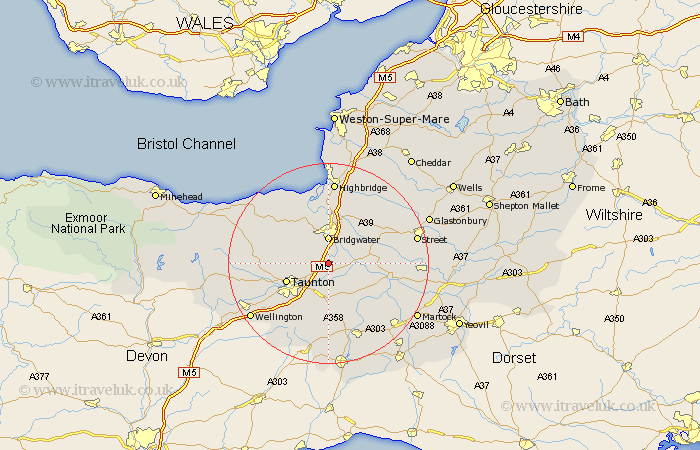
Somerset Map Showing Location of North Newton
District: Sedgemoor
Easting: 329938 Northing: 130242
Latitude: 51.07 Longitude: -3
 = North Newton
Easting: 329938 Northing: 130242
Latitude: 51.07 Longitude: -3
= North Newton
This North Newton map below is supplied by Google. Use the tools in the top left corner to zoom into street level or zoom out for a road map, you may also need to zoom in to see North Newton on the map. Click and drag the map to move around. If the map fails to load try and refresh your browser or zoom in or out (+ or -).
Update - it seems Google no longer allow people to use their maps for free! This North Newton map sometimes loads and sometimes gives a error. I am working on a solution.
Closest 30 Towns or Cities to North Newton (Population over 500)
North Petherton 3.88km West Monkton 3.96km Bridgewater 5.56km Bridgwater 5.56km Creech Saint Michael 5.68km Creech St. Michael 5.68km Creech St Michael 5.68km Stoke Saint Gregory 5.96km Stoke St. Gregory 5.96km Stoke St Gregory 5.96km North Curry 6.03km Durleigh 6.57km Weston Zoyland 7.25km Middlezoy 7.91km Kingston 8.15km Othery 8.36km Taunton 8.96km Hatch Beauchamp 9.27km Fivehead 9.43km Spaxton 9.86km Curry Rivel 9.87km Cossington 10.94km Trull 11.03km Norton Fitzwarren 11.12km Puriton 11.36km Langport 12.23km High Ham 12.81km Bishops Lydeard 12.81km Pawlett 12.97km Pitminster 13.79km