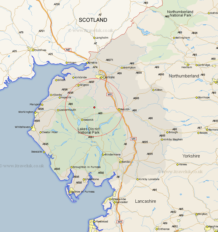
Cumbria Map Showing Location of Mosedale
District: Allerdale
Easting: 335535 Northing: 532498
Latitude: 54.68 Longitude: -3
 = Mosedale
Easting: 335535 Northing: 532498
Latitude: 54.68 Longitude: -3
= Mosedale
This Mosedale map below is supplied by Google. Use the tools in the top left corner to zoom into street level or zoom out for a road map, you may also need to zoom in to see Mosedale on the map. Click and drag the map to move around. If the map fails to load try and refresh your browser or zoom in or out (+ or -).
Update - it seems Google no longer allow people to use their maps for free! This Mosedale map sometimes loads and sometimes gives a error. I am working on a solution.
Closest 30 Towns or Cities to Mosedale (Population over 500)
Hesket Newmarket 5.66km Caldbeck 6.42km Skelton 8.77km Greystoke 9.34km Koswick 11.92km Keswick 11.92km Dacre 13.03km Westward 14.03km Dalston 16.71km Thursby 16.99km Wigton 19.26km Lasonby 20.06km Lazonby 20.06km Kirkoswald 21.38km Langwathby 21.43km Bromfield 21.48km Ainstable 21.48km Cockermouth 22.58km Carlisle 22.65km Aspatria 22.66km Wetheral 23.54km Bridekirk 23.57km Stanwix 24.47km Kirkbride 25.67km Culgaith 25.99km Burgh 26.15km Burgh-by-Sands 26.15km Burgh by Sands 26.15km Brigham 27.05km Rockcliff 27.82km