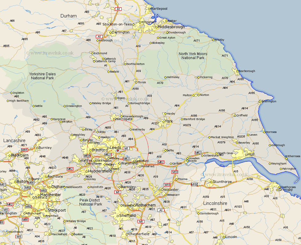
Yorkshire Map Showing Location of Knostrop
District: Leeds
Easting: 432941 Northing: 432026
Latitude: 53.78 Longitude: -1.5
 = Knostrop
Easting: 432941 Northing: 432026
Latitude: 53.78 Longitude: -1.5
= Knostrop
This Knostrop map below is supplied by Google. Use the tools in the top left corner to zoom into street level or zoom out for a road map, you may also need to zoom in to see Knostrop on the map. Click and drag the map to move around. If the map fails to load try and refresh your browser or zoom in or out (+ or -).
Update - it seems Google no longer allow people to use their maps for free! This Knostrop map sometimes loads and sometimes gives a error. I am working on a solution.
Closest 30 Towns or Cities to Knostrop (Population over 500)
Rothwell 3.86km Lofthouse 5.56km Swillington 5.78km Leeds 5.78km Scholes 6.61km Garforth 7.66km Morley 7.81km Kippax 8.95km Thorner 9.22km Wakefield 9.33km Stanley 9.33km Scarcroft 9.84km Horsforth 10.37km Normanton 10.76km Pudsey 10.95km Micklefield 11.1km Aberford 11.56km East Keswick 11.69km Bardsey 11.95km Drewsbury 12.03km Dewsbury 12.03km Castleford 12.33km Featherstone 12.76km Batley 12.77km Harewood 12.98km Horbury 13.38km Bramhope 13.5km Ossett 13.69km Yeadon 14.34km Heckmondwike 14.35km