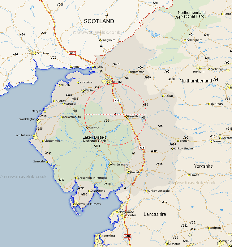
Cumbria Map Showing Location of Johnby
District: Eden
Easting: 344130 Northing: 532384
Latitude: 54.68 Longitude: -2.87
 = Johnby
Easting: 344130 Northing: 532384
Latitude: 54.68 Longitude: -2.87
= Johnby
This Johnby map below is supplied by Google. Use the tools in the top left corner to zoom into street level or zoom out for a road map, you may also need to zoom in to see Johnby on the map. Click and drag the map to move around. If the map fails to load try and refresh your browser or zoom in or out (+ or -).
Update - it seems Google no longer allow people to use their maps for free! This Johnby map sometimes loads and sometimes gives a error. I am working on a solution.
Closest 30 Towns or Cities to Johnby (Population over 500)
Skelton 1.86km Greystoke 3.7km Dacre 7.71km Hesket Newmarket 11.13km Lasonby 12.06km Lazonby 12.06km Langwathby 12.86km Caldbeck 13.02km Kirkoswald 14.16km Ainstable 15.54km Culgaith 17.54km Dalston 18.28km Koswick 18.56km Keswick 18.56km Thursby 20.41km Westward 20.41km Wetheral 20.64km Kirkby Thore 21.68km Shap 22.56km Carlisle 22.65km Long Marston 24.35km Long Marton 24.35km Stanwix 24.47km Wigton 24.67km Hayton 25.23km Crosby Ravensworth 26.01km Appleby 27.88km Burgh by Sands 28.49km Burgh-by-Sands 28.49km Burgh 28.49km