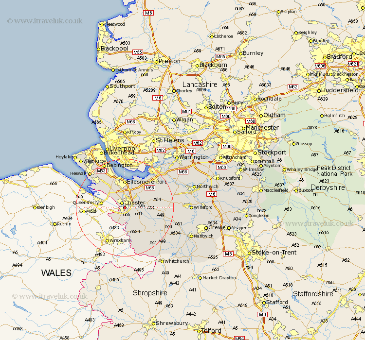
Cheshire Map Showing Location of Hough Green
District: Chester
Easting: 339863 Northing: 365543
Latitude: 53.18 Longitude: -2.9
 = Hough Green
Easting: 339863 Northing: 365543
Latitude: 53.18 Longitude: -2.9
= Hough Green
This Hough Green map below is supplied by Google. Use the tools in the top left corner to zoom into street level or zoom out for a road map, you may also need to zoom in to see Hough Green on the map. Click and drag the map to move around. If the map fails to load try and refresh your browser or zoom in or out (+ or -).
Update - it seems Google no longer allow people to use their maps for free! This Hough Green map sometimes loads and sometimes gives a error. I am working on a solution.
Closest 30 Towns or Cities to Hough Green (Population over 500)
Chester 2.16km Christleton 4.44km Saughall 4.99km Great Saughall 4.99km Mollington 5.67km Dodleston 6.48km Mickle Trafford 6.68km Great Barrow 6.92km Barrow 6.92km Waverton 6.92km Tarvin 9.07km Elton 9.26km Dunham 9.97km Dunham-on-the-Hill 9.97km Dunham on the Hill 9.97km Ellesmere Port 11.12km Farndon 11.18km Tattenhall 11.57km Ashton 11.71km Helsby 12.84km Willaston 12.96km Kelshall Hill 14.9km Kelsall 14.9km Kelsall Hill 14.9km Neston 14.94km Harthill 14.96km Tilston 15.83km Delamere 15.98km Tarporley 15.99km Frodsham 17.07km