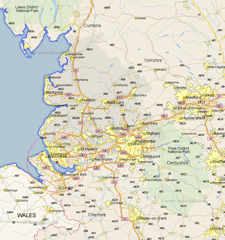
Lancashire Map Showing Location of Aigburth
District: Liverpool
Easting: 337902 Northing: 385972
Latitude: 53.37 Longitude: -2.93
 = Aigburth
Easting: 337902 Northing: 385972
Latitude: 53.37 Longitude: -2.93
= Aigburth
This Aigburth map below is supplied by Google. Use the tools in the top left corner to zoom into street level or zoom out for a road map, you may also need to zoom in to see Aigburth on the map. Click and drag the map to move around. If the map fails to load try and refresh your browser or zoom in or out (+ or -).
Update - it seems Google no longer allow people to use their maps for free! This Aigburth map sometimes loads and sometimes gives a error. I am working on a solution.
Closest 30 Towns or Cities to Aigburth (Population over 500)
Huyton 6.65km Huyton with Roby 6.65km Liverpool 7.1km Halewood 7.74km Prescott 10.44km Prescot 10.44km Knowsley 10.78km Aintree 11.12km Cronton 11.21km Rainhill 11.66km Rainhull 11.66km Litherland 11.96km Bootle 12.42km Melling 13.01km Kirkby 13.15km Eccleston 13.59km Crosby 14.02km Sefton 14.99km Thornton 15.47km St. Helens 16.17km Saint Helens 16.17km St Helens 16.17km Maghull 16.72km Lydiate 16.82km Ince Blundell 17.57km Bickerstaffe 17.95km Hightown 18.38km Aughton 18.56km Rainford 18.87km Skelmersdale 20.52km