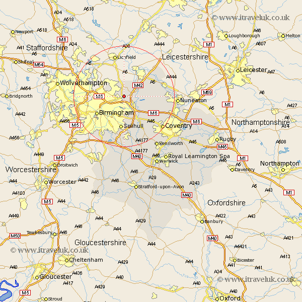
Warwickshire Map Showing Location of Minworth
District: Birmingham
Easting: 415825 Northing: 292891
Latitude: 52.53 Longitude: -1.77
 = Minworth
Easting: 415825 Northing: 292891
Latitude: 52.53 Longitude: -1.77
= Minworth
This Minworth map below is supplied by Google. Use the tools in the top left corner to zoom into street level or zoom out for a road map, you may also need to zoom in to see Minworth on the map. Click and drag the map to move around. If the map fails to load try and refresh your browser or zoom in or out (+ or -).
Update - it seems Google no longer allow people to use their maps for free! This Minworth map sometimes loads and sometimes gives a error. I am working on a solution.
Closest 30 Towns or Cities to Minworth (Population over 500)
Castle Bromwich 3.87km Water Orton 4.34km Sutton Coldfield 5.02km Coleshill 5.84km Kingsbury 5.93km Middleton 6km Nether Whitacre 7.89km Hurley 9.21km Shustoke 9.75km Bickenhill 9.86km Birmingham 12.57km Arley 12.95km Solihull 13.01km Dordon 13.22km Polesworth 13.49km Hampton in Arden 13.73km Fillongley 14.45km Shuttington 15.05km Meriden 15.06km Atherstone 15.11km Grendon 15.42km Knowle 16.83km Mancetter 17.31km Corley 17.35km Berkswell 17.36km Berkeswell 17.36km Newton Regis 17.94km Newton 17.94km Orton-on-the-Hill 18.29km Orton 18.29km