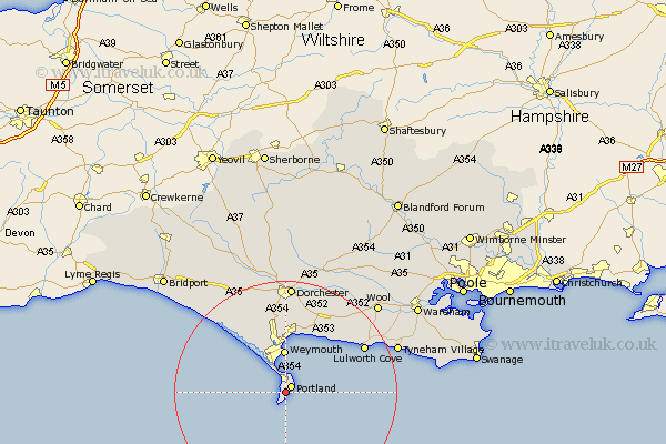
Dorset Map Showing Location of Weston
Population: 7600
Area Size (ha): 184
District: Weymouth and Portland
Easting: 368214 Northing: 71332
Latitude: 50.54 Longitude: -2.45
 = Weston
Area Size (ha): 184
District: Weymouth and Portland
Easting: 368214 Northing: 71332
Latitude: 50.54 Longitude: -2.45
= Weston
This Weston map below is supplied by Google. Use the tools in the top left corner to zoom into street level or zoom out for a road map, you may also need to zoom in to see Weston on the map. Click and drag the map to move around. If the map fails to load try and refresh your browser or zoom in or out (+ or -).
Update - it seems Google no longer allow people to use their maps for free! This Weston map sometimes loads and sometimes gives a error. I am working on a solution.
Closest 30 Towns or Cities to Weston (Population over 500)
Easton 0.78km Fortuneswell 1.08km Island of Portland 1.53km Isle of Portland 1.53km Portland 1.53km Weymouth 7.75km Chickerell 9.24km West Chickerel 9.24km Overcombe 10.72km Osmington 11.85km Bincombe 12.2km Preston 12.4km Upton 13.24km Portisham 16.34km Portesham 16.34km Lulworth Cove 16.4km West Lulworth 16.4km Broadmayne 16.55km Abbotsbury 17.65km Winfrith Newburgh 17.71km Winfrith 17.71km Dorchester 19.64km Charminster 21.46km Bovington Camp 22.62km Wool 23.08km Piddletown 24.33km Puddletown 24.33km Burton Bradstock 25.94km Maiden Newton 26.52km Puddletrenthide 27.11km