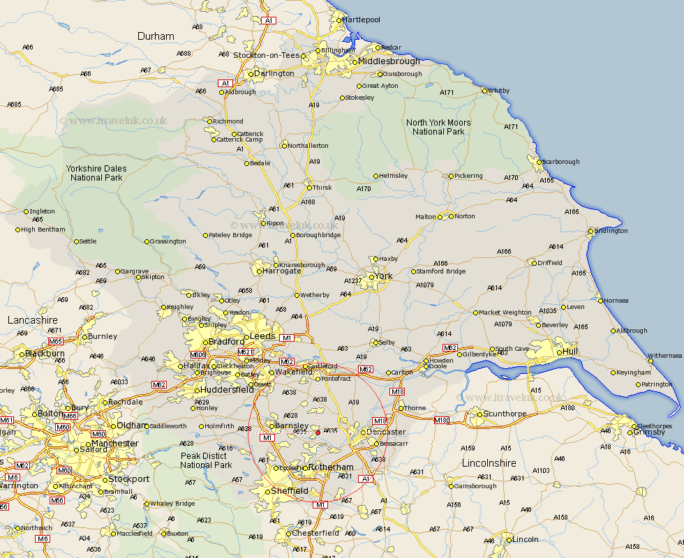
Yorkshire Map Showing Location of Dearne
Population: 13025
Area Size (ha): 258
District: Barnsley
Easting: 446391 Northing: 404326
Latitude: 53.53 Longitude: -1.3
 = Dearne
Area Size (ha): 258
District: Barnsley
Easting: 446391 Northing: 404326
Latitude: 53.53 Longitude: -1.3
= Dearne
This Dearne map below is supplied by Google. Use the tools in the top left corner to zoom into street level or zoom out for a road map, you may also need to zoom in to see Dearne on the map. Click and drag the map to move around. If the map fails to load try and refresh your browser or zoom in or out (+ or -).
Update - it seems Google no longer allow people to use their maps for free! This Dearne map sometimes loads and sometimes gives a error. I am working on a solution.
Closest 30 Towns or Cities to Dearne (Population over 500)
Dearne 0km Brodsworth 2.88km Houghton 3.79km Great Houghton 3.79km Little Houghton 4.78km Wath-on-Dearne 4.96km Wath upon Dearne 4.96km Wath 4.96km Wath on Dearne 4.96km Darsfield 5.51km Darfield 5.51km Moorthorpe 5.56km Swinton 5.67km South Elmsall 5.67km South Kirkby 5.7km Mexborough 5.98km Wombwell 6.86km Sprotbrough 7.58km Sprotboro 7.58km Hemsworth 8.12km Cudworth 8.56km Carcroft 8.56km Adwick le Street 8.56km Warmsworth 8.56km Conisbrough 9.23km Conisborough 9.23km Thrybergh 9.26km Badsworth 9.27km Upton 9.34km Shafton 9.5km