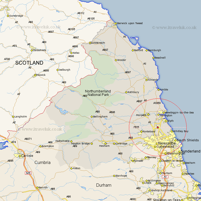
Northumberland Map Showing Location of Dudley
Population: 5233
Area Size (ha): 94
District: Blyth Valley
Easting: 426000 Northing: 576000
Latitude: 55.08 Longitude: -1.59
 = Dudley
Area Size (ha): 94
District: Blyth Valley
Easting: 426000 Northing: 576000
Latitude: 55.08 Longitude: -1.59
= Dudley
This Dudley map below is supplied by Google. Use the tools in the top left corner to zoom into street level or zoom out for a road map, you may also need to zoom in to see Dudley on the map. Click and drag the map to move around. If the map fails to load try and refresh your browser or zoom in or out (+ or -).
Update - it seems Google no longer allow people to use their maps for free! This Dudley map sometimes loads and sometimes gives a error. I am working on a solution.
Closest 30 Towns or Cities to Dudley (Population over 500)
Cramlington 1.36km Seghill 4.11km Seaton Delaval 4.99km Shiremoor 5.04km Killingworth 5.21km Stannington 5.32km Bedlington 6.11km Dinnington 6.54km Blythe 6.91km Blyth 6.91km Seaton Sluice 6.95km Gosforth 8.78km Long Benton 8.8km Longbenton 8.8km Hepscott 8.83km Woolsington 8.91km Whitley Bay 9.33km Whitley 9.33km Ashington 9.59km Wallsend 9.83km Wallsend-on-Tyne 9.83km Wallsend on Tyne 9.83km Pegswood 10.23km Ponteland 10.48km Tynemouth 11.12km North Shields 11.15km Morpeth 11.45km Newbiggin-by-the-Sea 11.69km Newbiggin by the Sea 11.69km Newcastle on Tyne 12.36km