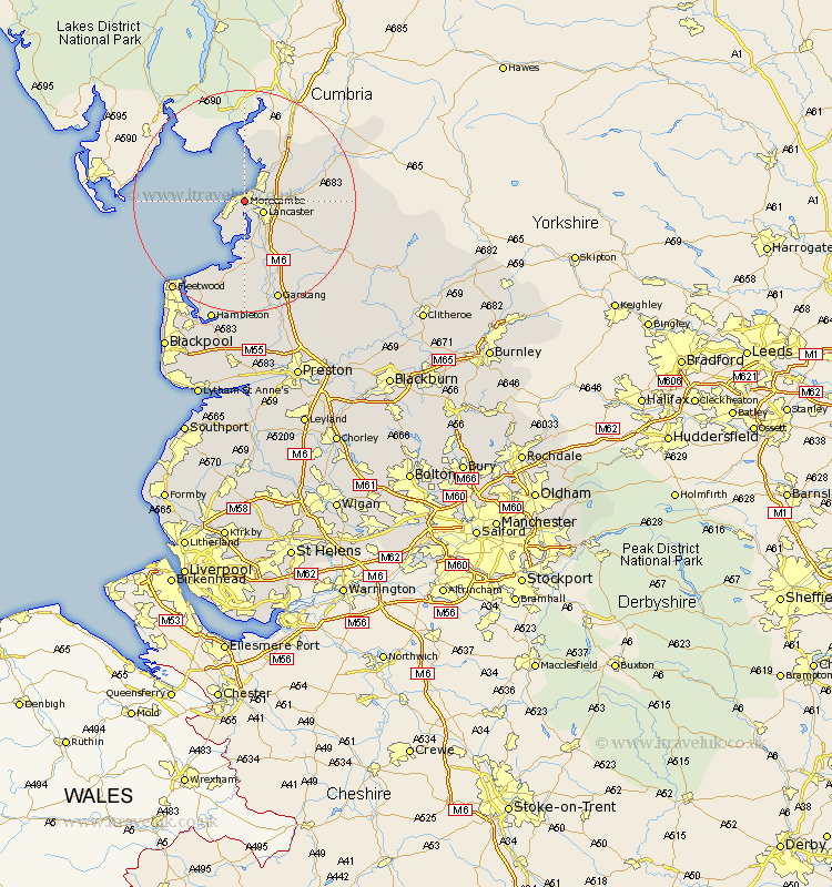
Lancashire Map Showing Location of Morecambe
Population: 45837
Area Size (ha): 1287
District: Lancaster
Easting: 344377 Northing: 463772
Latitude: 54.07 Longitude: -2.85
 = Morecambe
Area Size (ha): 1287
District: Lancaster
Easting: 344377 Northing: 463772
Latitude: 54.07 Longitude: -2.85
= Morecambe
This Morecambe map below is supplied by Google. Use the tools in the top left corner to zoom into street level or zoom out for a road map, you may also need to zoom in to see Morecambe on the map. Click and drag the map to move around. If the map fails to load try and refresh your browser or zoom in or out (+ or -).
Update - it seems Google no longer allow people to use their maps for free! This Morecambe map sometimes loads and sometimes gives a error. I am working on a solution.
Closest 30 Towns or Cities to Morecambe (Population over 500)
Lancaster 3.77km Bolton le Sands 4.73km Overton 7.42km Nether Kellet 7.5km Middleton 7.73km Carnforth 7.78km Caton 8.7km Warton 9.19km Over Kellet 9.42km Silverdale 11.33km Cockerham 13.16km Forton 13.69km Pilling 15.46km Preesall 18.34km Garstang 19.32km Fleetwood 20.41km Catterall 22.9km Hambleton 22.9km Claughton 23.89km Claughton on Brock 23.89km Claughton-on-Brock 23.89km Eccleston 24.12km Great Eccleston 24.12km Thornton 24.77km Cleveleys 25.8km Inskip 25.98km Elswick 26.04km Great Singleton 26.52km Singleton 26.52km Chipping 26.83km