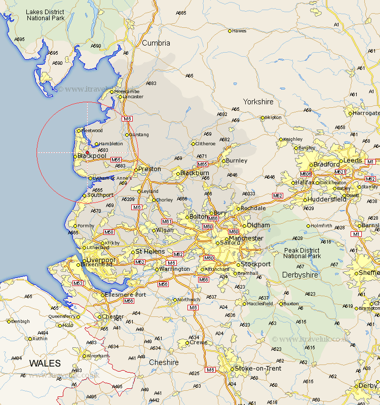
Lancashire Map Showing Location of Poulton Le Fylde
Population: 18433
Area Size (ha): 776
District: Wyre
Easting: 335293 Northing: 437920
Latitude: 53.83 Longitude: -2.98
 = Poulton Le Fylde
Area Size (ha): 776
District: Wyre
Easting: 335293 Northing: 437920
Latitude: 53.83 Longitude: -2.98
= Poulton Le Fylde
This Poulton Le Fylde map below is supplied by Google. Use the tools in the top left corner to zoom into street level or zoom out for a road map, you may also need to zoom in to see Poulton Le Fylde on the map. Click and drag the map to move around. If the map fails to load try and refresh your browser or zoom in or out (+ or -).
Update - it seems Google no longer allow people to use their maps for free! This Poulton Le Fylde map sometimes loads and sometimes gives a error. I am working on a solution.
Closest 30 Towns or Cities to Poulton Le Fylde (Population over 500)
Great Singleton 3.28km Singleton 3.28km Thornton 4.31km Blackpool 4.75km Hambleton 4.95km Cleveleys 5.74km Plumpton 6.46km Elswick 6.56km Great Eccleston 7.88km Eccleston 7.88km Preesall 9.34km Kirkham 9.46km Fleetwood 9.77km Inskip 9.84km Warton 9.9km Lytham St. Anne's 11.17km Lytham Saint Anne's 11.17km Lytham St Anne's 11.17km Lytham 11.17km Pilling 11.95km Freckleton 12.02km Lea 14.13km Lea Town 14.13km Catterall 14.69km Woodplumpton 15.76km Garstang 16.03km Broughton 16.51km Barton 16.51km Cockerham 16.96km Banks 17.25km