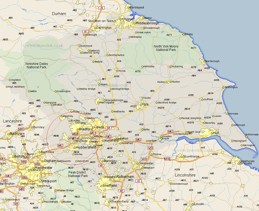
Yorkshire Map Showing Location of Lightcliffe
District: Calderdale
Easting: 413197 Northing: 424519
Latitude: 53.72 Longitude: -1.8
 = Lightcliffe
Easting: 413197 Northing: 424519
Latitude: 53.72 Longitude: -1.8
= Lightcliffe
This Lightcliffe map below is supplied by Google. Use the tools in the top left corner to zoom into street level or zoom out for a road map, you may also need to zoom in to see Lightcliffe on the map. Click and drag the map to move around. If the map fails to load try and refresh your browser or zoom in or out (+ or -).
Update - it seems Google no longer allow people to use their maps for free! This Lightcliffe map sometimes loads and sometimes gives a error. I am working on a solution.
Closest 30 Towns or Cities to Lightcliffe (Population over 500)
Brighouse 2.16km Halifax 3.29km Elland 4.31km Cleckheaton 5.48km Liversedge 6.84km Huddersfield 7.5km Bradford 8.1km Luddenden Foot 8.77km Heckmondwike 8.97km Queensbury 9.47km Mirfield 9.48km Denholme 9.9km Ripponden 11.33km Pudsey 11.48km Wilsden 11.95km Batley 12.04km Mytholmroyd 12.06km Drewsbury 12.21km Dewsbury 12.21km Cullingworth 12.92km Honley 12.98km Shipley 13.15km Oxenhope 13.53km Morley 14.37km Kirkburton 14.55km Hebden Bridge 14.73km Heptonstall 14.73km Haworth 14.86km Baildon 14.98km Bingley 14.98km