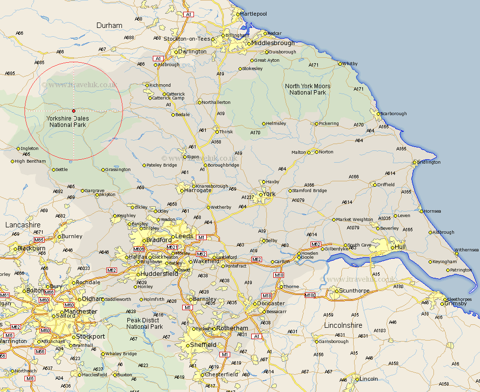
Yorkshire Map Showing Location of Wensleydale
District: Richmondshire
Easting: 390239 Northing: 489404
Latitude: 54.3 Longitude: -2.15
 = Wensleydale
Easting: 390239 Northing: 489404
Latitude: 54.3 Longitude: -2.15
= Wensleydale
This Wensleydale map below is supplied by Google. Use the tools in the top left corner to zoom into street level or zoom out for a road map, you may also need to zoom in to see Wensleydale on the map. Click and drag the map to move around. If the map fails to load try and refresh your browser or zoom in or out (+ or -).
Update - it seems Google no longer allow people to use their maps for free! This Wensleydale map sometimes loads and sometimes gives a error. I am working on a solution.
Closest 30 Towns or Cities to Wensleydale (Population over 500)
Hawes 3.24km Bradley 15.09km Leyburn 21.63km Middleham 21.71km Ingleton 26.49km Clapham 26.92km Settle 27.03km Grassington 28.12km Giggleswick 28.82km Threshfield 29.12km Richmond 29.2km Burton in Lonsdale 31.06km Gilling 31.74km Bentham 31.83km High Bentham 31.83km Masham 33.77km Long Preston 33.99km Catterick 34.31km Crakehall 34.61km Bewerley 34.68km Grewelthorpe 34.99km Gargrave 35.37km Hellifield 35.48km Kirkby Malzeard 35.72km Middleton Tyas 36.43km Melsonby 36.45km Bedale 36.82km Scorton 36.83km Barton 37.31km Skipton 38.07km