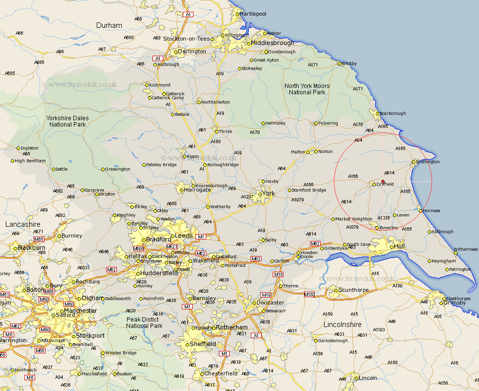
Yorkshire Map Showing Location of Nafferton
Population: 1943
Area Size (ha): 70
Easting: 505914 Northing: 459081
Latitude: 54.02 Longitude: -0.38
 = Nafferton
Area Size (ha): 70
Easting: 505914 Northing: 459081
Latitude: 54.02 Longitude: -0.38
= Nafferton
This Nafferton map below is supplied by Google. Use the tools in the top left corner to zoom into street level or zoom out for a road map, you may also need to zoom in to see Nafferton on the map. Click and drag the map to move around. If the map fails to load try and refresh your browser or zoom in or out (+ or -).
Update - it seems Google no longer allow people to use their maps for free! This Nafferton map sometimes loads and sometimes gives a error. I am working on a solution.
Closest 30 Towns or Cities to Nafferton (Population over 500)
Driffield 3.45km Kilham 3.86km Cranswick 8.1km North Frodingham 8.58km Beeford 9.44km Great Driffield 9.82km Dunnington 11.44km Wetwang 12.12km Skipsea 12.23km Brandesburton 12.38km Brandsburton 12.38km Bridlington 14.38km Lockington 14.53km Leven 15.46km Tickton 16.68km Leckonfield 17.24km Leconfield 17.24km Hunmanby 17.24km Cherry Burton 18.34km Sherburn 18.81km Willerby 19.03km Bempton 19.18km Hornsea 19.22km Flamborough 19.72km Beverley 20.51km Bishop Burton 21.77km Woodmansey 22.24km Filey 22.36km Skirlaugh Station 23.89km Cayton 24.11km