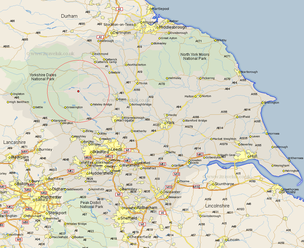
Yorkshire Map Showing Location of Nidderdale
District: Harrogate
Easting: 408703 Northing: 474571
Latitude: 54.17 Longitude: -1.87
 = Nidderdale
Easting: 408703 Northing: 474571
Latitude: 54.17 Longitude: -1.87
= Nidderdale
This Nidderdale map below is supplied by Google. Use the tools in the top left corner to zoom into street level or zoom out for a road map, you may also need to zoom in to see Nidderdale on the map. Click and drag the map to move around. If the map fails to load try and refresh your browser or zoom in or out (+ or -).
Update - it seems Google no longer allow people to use their maps for free! This Nidderdale map sometimes loads and sometimes gives a error. I am working on a solution.
Closest 30 Towns or Cities to Nidderdale (Population over 500)
Bradley 8.56km Bewerley 11.33km Middleham 13.37km Grassington 13.47km Kirkby Malzeard 14.11km Grewelthorpe 14.22km Masham 15.15km Leyburn 15.17km Threshfield 16.25km Dacre 16.25km Darley 18.39km Tanfield 19.87km West Tanfield 19.87km Crakehall 21.99km Birstwith 22.04km Bedale 22.52km Ripon 23.47km Embsay 23.51km Hampsthwaite 24.1km Skipton 24.3km Gargrave 25.45km Bishop Monkton 25.63km Monkton 25.63km Addingham 25.98km Hawes 26.25km Burton Leonard 26.36km Killinghall 26.55km Catterick 26.91km Richmond 27.35km Ilkley 27.99km