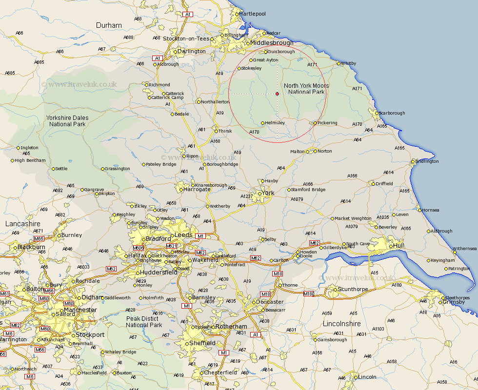
Yorkshire Map Showing Location of Farndale
District: Ryedale
Easting: 466047 Northing: 497290
Latitude: 54.37 Longitude: -0.98
 = Farndale
Easting: 466047 Northing: 497290
Latitude: 54.37 Longitude: -0.98
= Farndale
This Farndale map below is supplied by Google. Use the tools in the top left corner to zoom into street level or zoom out for a road map, you may also need to zoom in to see Farndale on the map. Click and drag the map to move around. If the map fails to load try and refresh your browser or zoom in or out (+ or -).
Update - it seems Google no longer allow people to use their maps for free! This Farndale map sometimes loads and sometimes gives a error. I am working on a solution.
Closest 30 Towns or Cities to Farndale (Population over 500)
Ingleby 10.58km Kirby Moorside 11.58km Kirkby Moorside 11.58km Helmsley 14.06km Nawton 14.83km Great Broughton 15.05km Great Ayton 17.71km Stokesley 17.89km Whorlton 18.14km Seamer 18.75km Guisborough 19.02km Pickering 19.13km Skelton-in-Cleveland 20.38km Skelton 20.38km Ampleforth 20.46km Osmotherley 20.51km Loftus 21.38km Middleton 21.44km Middleton upon Leven 21.44km Eston 21.73km Brotton 22.47km Sleights 22.49km Thornton-le-Dale 22.79km Thornton Dale 22.79km Hinderwell 23.22km Saltburn 24.09km Saltburn by the Sea 24.09km Saltburn-by-the-Sea 24.09km Slingsby 24.48km Middlesbrough 24.71km