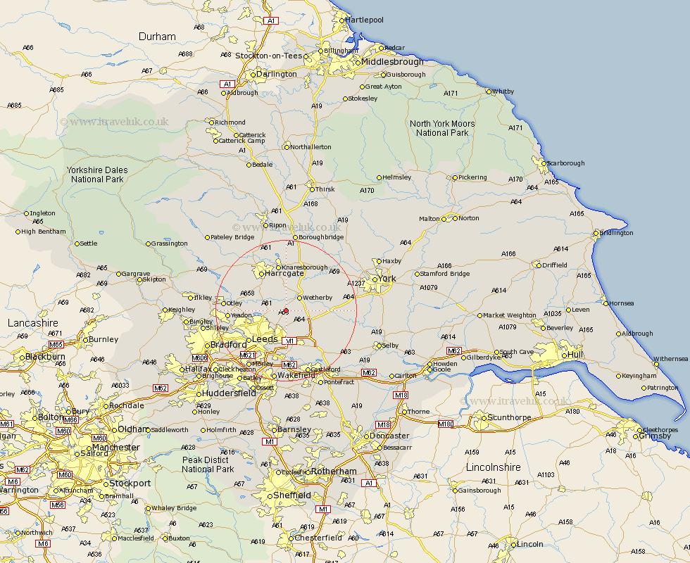
Yorkshire Map Showing Location of East Keswick
Population: 2928
Area Size (ha): 109
District: Leeds
Easting: 437000 Northing: 443000
Latitude: 53.88 Longitude: -1.44
 = East Keswick
Area Size (ha): 109
District: Leeds
Easting: 437000 Northing: 443000
Latitude: 53.88 Longitude: -1.44
= East Keswick
This East Keswick map below is supplied by Google. Use the tools in the top left corner to zoom into street level or zoom out for a road map, you may also need to zoom in to see East Keswick on the map. Click and drag the map to move around. If the map fails to load try and refresh your browser or zoom in or out (+ or -).
Update - it seems Google no longer allow people to use their maps for free! This East Keswick map sometimes loads and sometimes gives a error. I am working on a solution.
Closest 30 Towns or Cities to East Keswick (Population over 500)
Bardsey 0.3km Scarcroft 1.87km Collingham 3.17km Thorner 3.77km Harewood 4.6km Wetherby 5.25km Bramham 5.71km Boston Spa 6.06km Scholes 7.35km Thorpe Arch 7.83km Thorp Arch 7.83km Weeton 9.34km Pannal 9.87km Aberford 9.93km Arthington 10.87km Arthington Junction Station 10.87km Tadcaster 11.17km Micklefield 11.35km Garforth 11.49km Bramhope 11.77km Pool 11.94km Poole 11.94km Pool-in-Wharfedale 11.94km Swillington 12.85km Harrogate 12.94km Leeds 13.21km Knaresborough 13.3km Kippax 13.59km Horsforth 13.95km Kirk Hammerton 14.43km