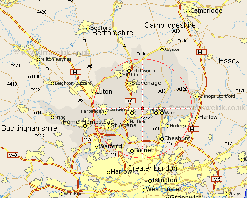
Hertfordshire Map Showing Location of Harmer Green
Population: 3193
Area Size (ha): 224
District: East Hertfordshire
Easting: 528000 Northing: 215000
Latitude: 51.82 Longitude: -0.14
 = Harmer Green
Area Size (ha): 224
District: East Hertfordshire
Easting: 528000 Northing: 215000
Latitude: 51.82 Longitude: -0.14
= Harmer Green
This Harmer Green map below is supplied by Google. Use the tools in the top left corner to zoom into street level or zoom out for a road map, you may also need to zoom in to see Harmer Green on the map. Click and drag the map to move around. If the map fails to load try and refresh your browser or zoom in or out (+ or -).
Update - it seems Google no longer allow people to use their maps for free! This Harmer Green map sometimes loads and sometimes gives a error. I am working on a solution.
Closest 30 Towns or Cities to Harmer Green (Population over 500)
Tewin 0.54km Stapleford 3.37km Datchworth 3.54km Garden City 4.44km Welwyn Garden City 4.44km Knebworth 4.48km Watton 4.57km Watton at Stone 4.57km Hertingfordbury 4.89km Welwyn 5.34km Hertford 5.62km Bishops Hatfield 5.99km Codicote 7.14km Aston 7.22km Essendon 7.63km Benington 7.78km Bennington 7.78km Ware 7.8km Hatfield 8.16km Little Munden 8.32km Little Amwell 8.48km Thundridge 8.82km Great Amwell 9.51km Brookmans Park 9.88km Wheathampstead 9.88km Kimpton 10.28km Walkern 10.94km Stanstead Abbots 11.64km Colney Heath 12.01km Stevenage 12.04km