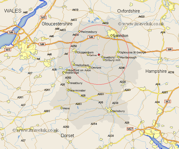
Wiltshire Map Showing Location of Yatesbury
District: North Wiltshire
Easting: 406950 Northing: 170537
Latitude: 51.43 Longitude: -1.9
 = Yatesbury
Easting: 406950 Northing: 170537
Latitude: 51.43 Longitude: -1.9
= Yatesbury
This Yatesbury map below is supplied by Google. Use the tools in the top left corner to zoom into street level or zoom out for a road map, you may also need to zoom in to see Yatesbury on the map. Click and drag the map to move around. If the map fails to load try and refresh your browser or zoom in or out (+ or -).
Update - it seems Google no longer allow people to use their maps for free! This Yatesbury map sometimes loads and sometimes gives a error. I am working on a solution.
Closest 30 Towns or Cities to Yatesbury (Population over 500)
Cherhill 3.93km Hillmarton 5.93km Hilmarton 5.93km Broad Town 6.02km Calne 6.93km Broad Hinton 7.23km Bishops Cannings 8.18km Roundway 9.39km Bremhill 9.42km Lyneham 10.36km Devizes 10.92km Wootton Bassett 11.12km Wooton Bassett 11.12km Wroughton 12.3km Christian Malford 12.77km Marlborough 12.84km Rowde 13.09km Brinkworth 14.2km Sutton Benger 14.71km Chiseldon 14.71km Urchfont 15km Lydiard Millicent 15.01km Chippenham 15.13km Pewsey 15.23km Potterne 15.29km Laycock 15.48km Lacock 15.48km Seend 15.74km Swindon 15.92km Great Somerford 16.03km