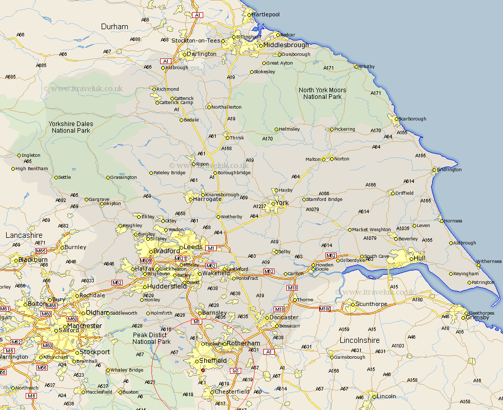
Yorkshire Map Showing Location of Woodseats
District: Sheffield
Easting: 435512 Northing: 381983
Latitude: 53.33 Longitude: -1.47
 = Woodseats
Easting: 435512 Northing: 381983
Latitude: 53.33 Longitude: -1.47
= Woodseats
This Woodseats map below is supplied by Google. Use the tools in the top left corner to zoom into street level or zoom out for a road map, you may also need to zoom in to see Woodseats on the map. Click and drag the map to move around. If the map fails to load try and refresh your browser or zoom in or out (+ or -).
Update - it seems Google no longer allow people to use their maps for free! This Woodseats map sometimes loads and sometimes gives a error. I am working on a solution.
Closest 30 Towns or Cities to Woodseats (Population over 500)
Sheffield 4.32km Orgreave 8.66km Beighton 8.85km Treeton 9.53km Ecclesfield 11.12km Aston 11.22km Whiston 11.54km Wales 12.17km Wharncliffe Side 12.42km Oughtibridge 12.42km Wharncliffe 12.42km Bradfield 12.81km Harthill 13.41km Rotherham 13.55km Rotherdam 13.55km Brampton 14.39km Brampton en le Morthern 14.39km Brampton en le Morthen 14.39km Todwick 14.5km Wentworth 15.2km Wickersley 15.29km Rawmarsh 15.7km Bramley 16.19km Tankersley 16.68km Thorpe Salvin 16.71km Thrybergh 17.04km Wortley 17.25km Anston 17.9km Dinnington 18.09km Birdwell 18.57km